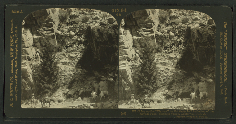
Going up the "Zigzags" on the steep trail to the top of the Nevada Falls, Yosemite Valley, California, U.S.A. |
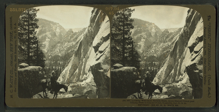
Looking West from Nevada Trail, down Merced Canon past Grizzly Peak to Glacier Point, Yosemite, Cal. U.S.A. |
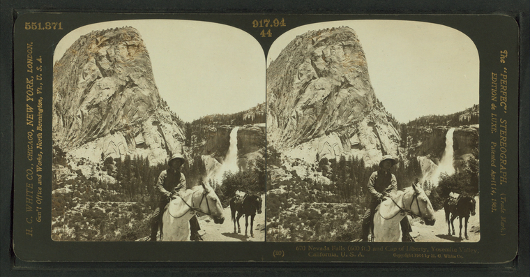
Nevada Falls (600 ft.) and Cap of Liberty, Yosemite Valley, California, U.S.A. |
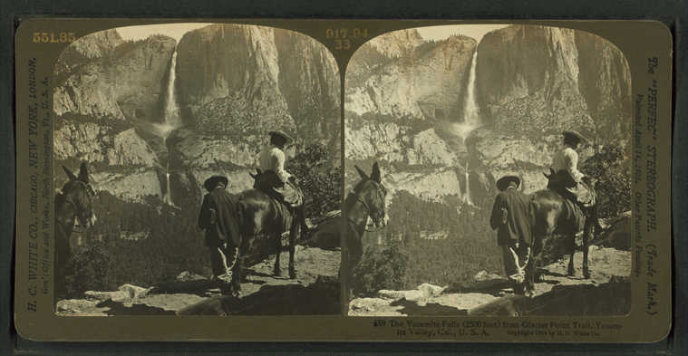
The Yosemite Falls (2500 ft) from Glacier Point Trail, Yosemite Valley, Cal., U.S.A. |
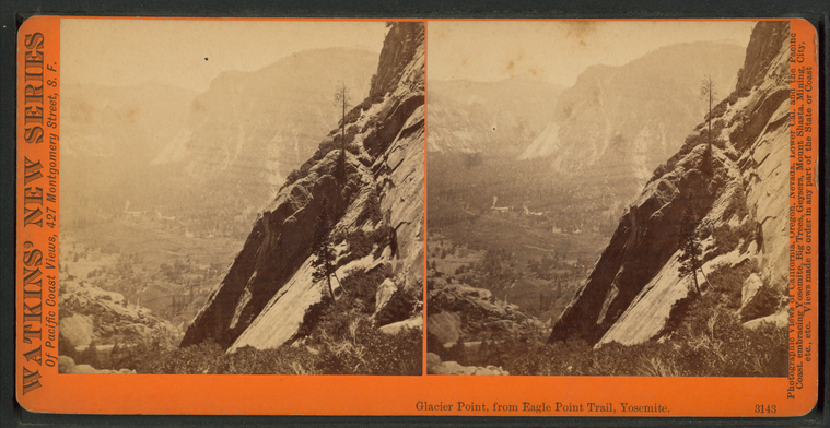
Glacier Point, from Eagle Point Trail, Yosemite. |
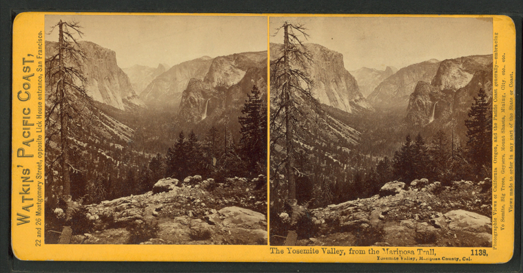
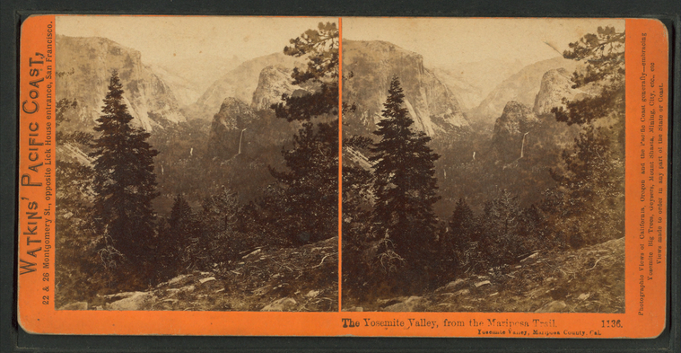
The Yosemite Valley, from the Mariposa Trail, Yosemite Valley, Mariposa County, Cal. |
The Yosemite Valley, from the Mariposa Trail, Yosemite Valley, Mariposa County, Cal. |
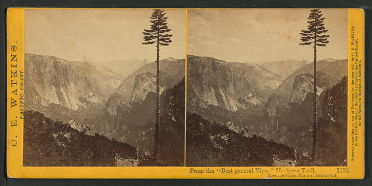
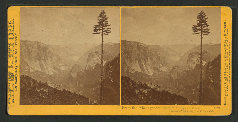
From the "Best General View," Mariposa Trail, Yosemite Valley, Mariposa County, Cal. |
From the "Best General View," Mariposa Trail, Yosemite Valley, Mariposa County, Cal. |
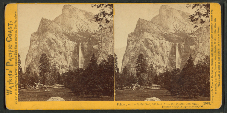
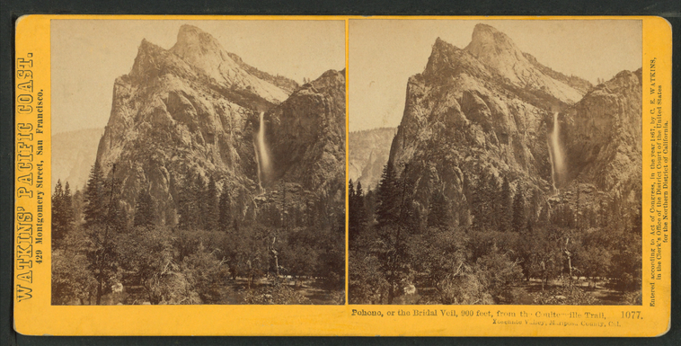
Pohono, or the Bridal Veil, 900 feet, from the Coulterville Trail. |
Pohono, or the Bridal Veil, 900 feet, from the Coulterville Trail. |
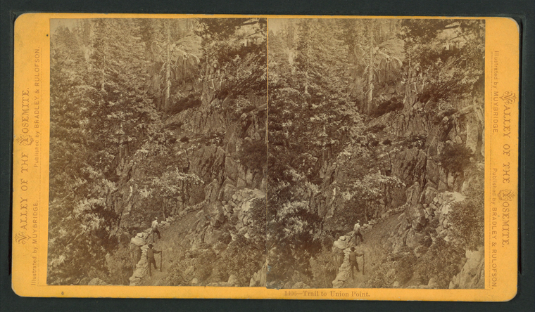
Trail to Union Point. |
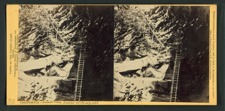
Ascent of Pi-wy-ack (Cataract of Diamonds). |
Ore[?] Trail.
Publisher: Griffith & Griffith
Photographer: Rau, William Herman (1855-1920) Subjects: California, Yosemite Valley (Calif.), Yosemite National Park (Calif.), Mountains, Horseback riding, Trails & paths, Tourists Collection: NYPL Digital Collections: Robert N. Dennis [From The New York Public Library] |
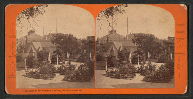
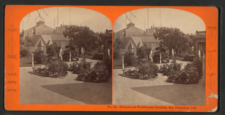
Entrance to Woodward's Gardens, San Francisco, Cal. |
Entrance to Woodward's Gardens, San Francisco, Cal. |
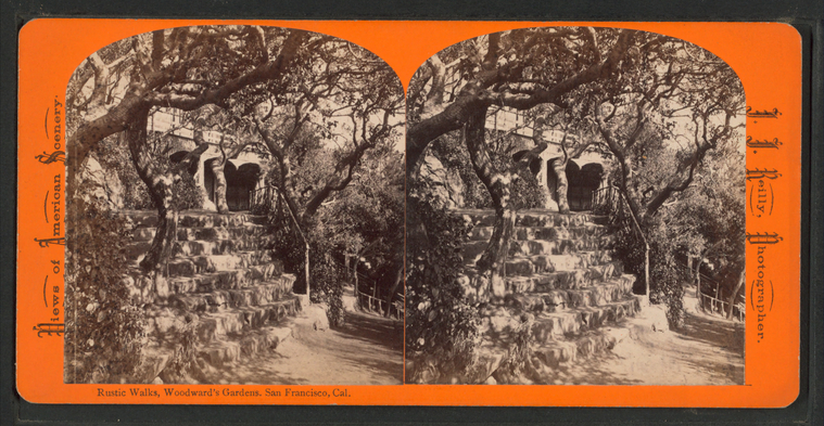
Rustic Walks, Woodward's Gardens, San Francisco, Cal. |
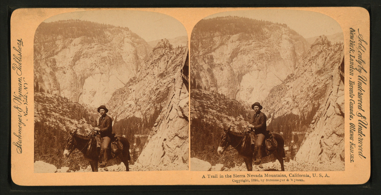
A trail in the Sierra Nevada Mountians, California, U.S.A.
Publisher: Strohmeyer & Wyman
Distributor: Underwood & Underwood Subjects: California, Sierra Nevada (Calif. and Nev.), California, Mountains, Horseback riding, Trails & paths Collection: NYPL Digital Collections: Robert N. Dennis [From The New York Public Library] |
In the limestone halfway down Grand View Trail(2).
Publisher: Underwood & Underwood
Subjects: Arizona, Grand Canyon (Ariz.), Horseback riding, Arizona, Trails & paths Collection: NYPL Digital Collections: Robert N. Dennis [From The New York Public Library] |
In the limestone halfway down Grand View Trail.
Publisher: Underwood & Underwood
Subjects: Arizona, Grand Canyon (Ariz.), Horseback riding, Arizona, Trails & paths Collection: NYPL Digital Collections: Robert N. Dennis [From The New York Public Library] |
On their way to Klondyke [Klondike].
Publisher: Kilburn, Benjamin West
Subjects: Alaska, Trails & paths, Gold miners Collection: NYPL Digital Collections: Robert N. Dennis [From The New York Public Library] |
On their way to Klondyke [Klondike].
Subjects: Alaska, Trails & paths, Gold miners
Collection: NYPL Digital Collections: Robert N. Dennis [From The New York Public Library] |
![Ore[?] Trail. Stereoview Card](http://images.nypl.org/index.php?id=G89F376_023F&t=w&download=1&suffix=510d47e0-3665-a3d9-e040-e00a18064a99.001)


![On their way to Klondyke [Klondike]. Stereoview Card](http://images.nypl.org/index.php?id=G89F309_015F&t=w&download=1&suffix=510d47e0-2c11-a3d9-e040-e00a18064a99.001)
![On their way to Klondyke [Klondike]. Stereoview Card](http://images.nypl.org/index.php?id=G89F309_014F&t=w&download=1&suffix=510d47e0-2c0f-a3d9-e040-e00a18064a99.001)