Long Ravine Bridge near Colfax. [Train crossing].
Publisher: Hart, Alfred A.
Photographer: Hart, Alfred A. (1816-1908) Subjects: Sierra Nevada (Calif. and Nev.), Railroad bridges, Railroad crossings Collection: NYPL Digital Collections: Robert N. Dennis [From The New York Public Library] |
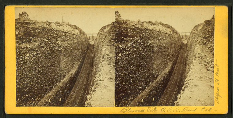
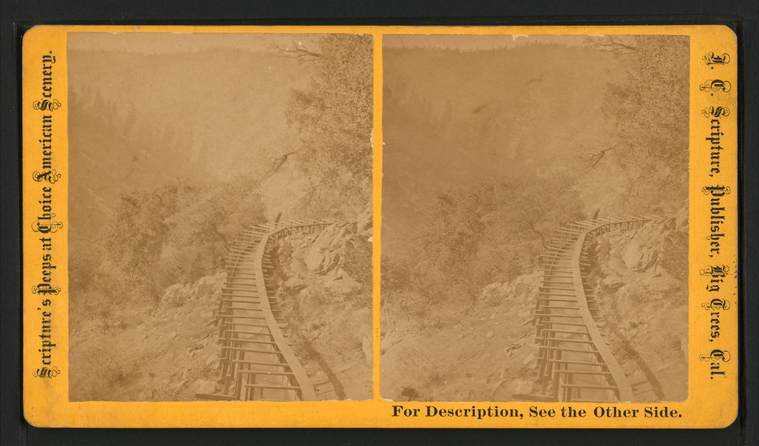
Bloomer Cut, C.P.R. Road, Calif.
Publisher: Hart, Alfred A.
Photographer: Hart, Alfred A. (1816-1908) Subjects: Sierra Nevada (Calif. and Nev.), Mountain railroads Collection: NYPL Digital Collections: Robert N. Dennis [From The New York Public Library] |
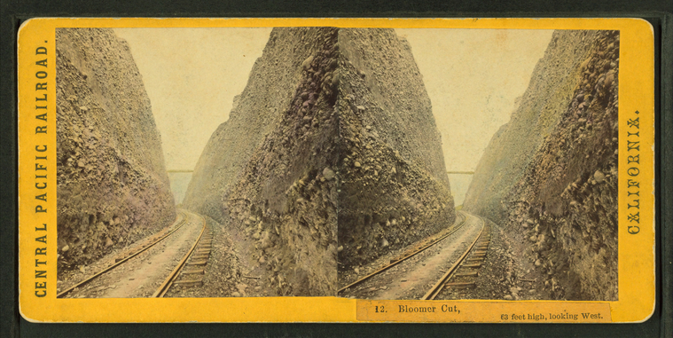
Bloomer Cut, 63 feet high, looking West.
Publisher: Hart, Alfred A.
Photographer: Hart, Alfred A. (1816-1908) Subjects: Sierra Nevada (Calif. and Nev.), Mountain railroads Collection: NYPL Digital Collections: Robert N. Dennis [From The New York Public Library] |
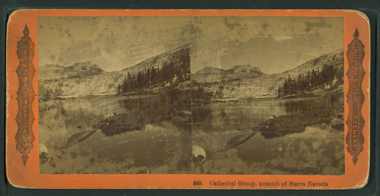
Cathedral Group, summit of Sierra Nevada. |
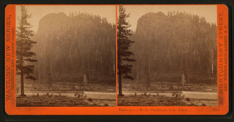
Shakespeare Rock, Glenbrook, Lake Tahoe. |
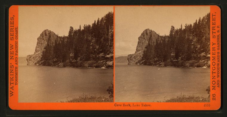
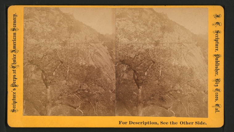
Cave Rock, Lake Tahoe. |
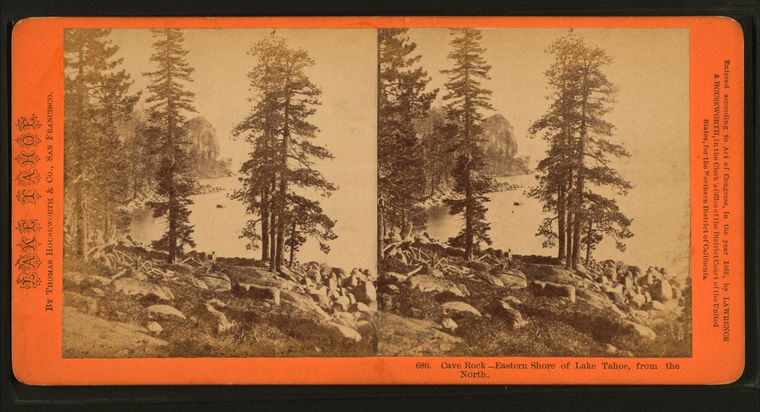
Cave Rock, Eastern shore of Lake Tahoe, from the North. |
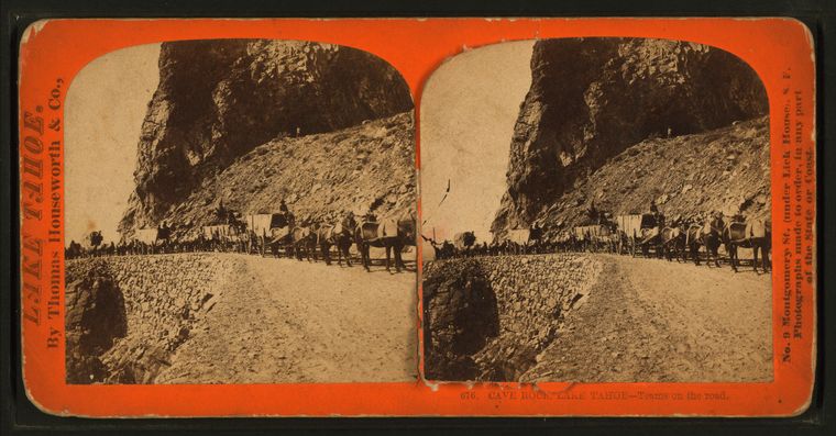
Cave Rock, Lake Tahoe. Teams on the road. |
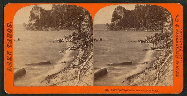
Cave Rock, Eastern shore of Lake Tahoe. |
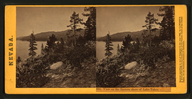
View on the Eastern shore of Lake Tahoe. |
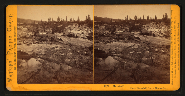
Malakoff, North Bloomfield Gravel Mining. |
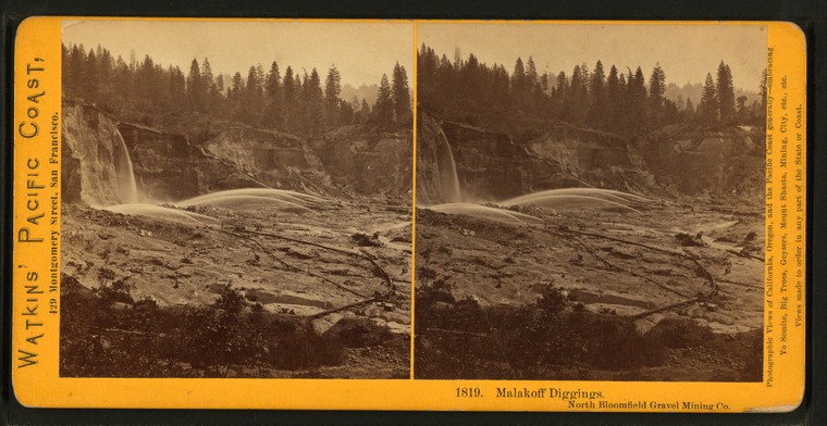
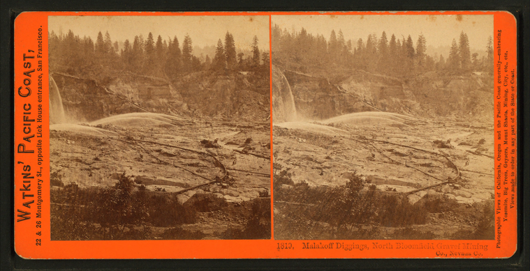
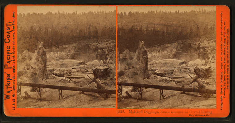
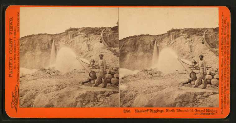
Malakoff Diggings, North Bloomfield Gravel Mining. |
Malakoff Diggings, North Bloomfield Gravel Mining. |
Malakoff Diggings, North Bloomfield Gravel Mining. |
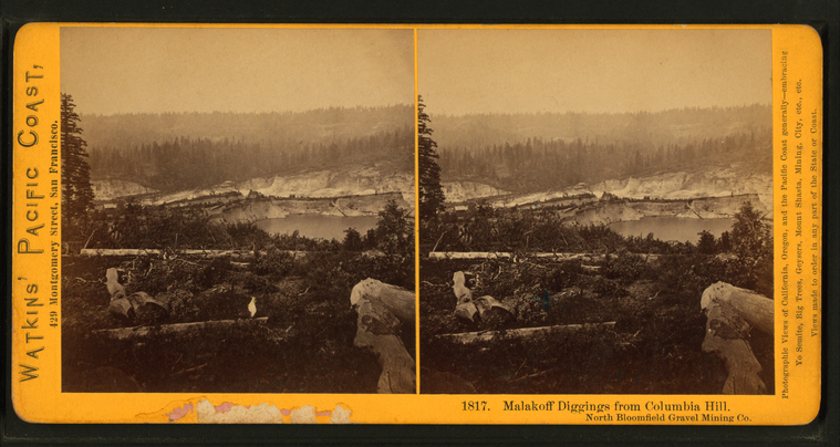
Malakoff Diggings from Columbia Hill, North Bloomfield Gravel Mining. |
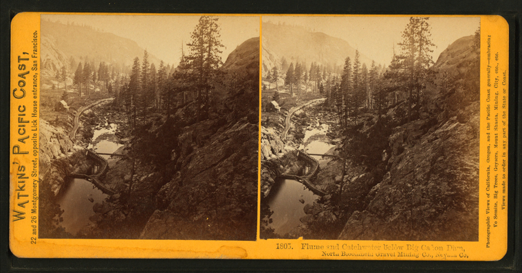
Flume and Catchwater below Big Canon Dam, North Bloomfield Gravel Mining Co., Nevada Co. |
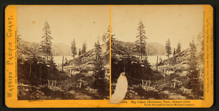
Big Canon (Bowman) Dam, distant view, North Bloomfield Gravel Mining Company. |
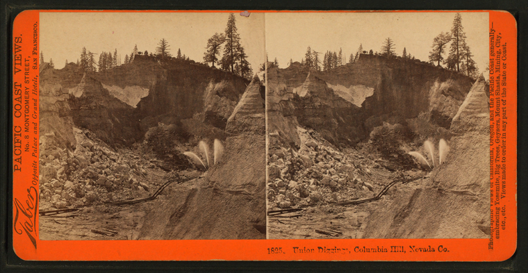
Union Diggings, Columbia Hill, Nevada Co. |
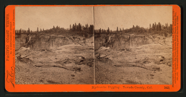
Hydraulic Digging, Nevada County, Cal. |
Malakoff Diggings, North Bloomfield Gravel Mining. |
Hydraulic Mining - Behind the Pipes, in the Kennebeck Claim, Birchville, Nevada County. |
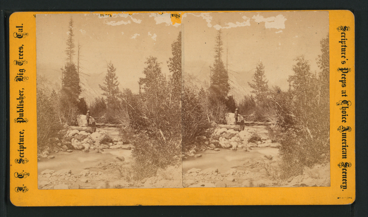
Sceney on the north fork of the Mokelumne River and Amador Canal. |
Scenery on the north fork of the Mokelumne River and Amador Canal. |
A Fine view of the celebrated "Bald Rock", on the North Fork of the Mokelumme River. |
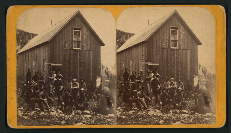
Palmetto Boarding House afer dinner, California. |
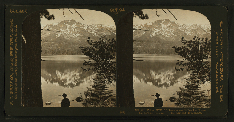
Mt. Tallac (9715 ft.) from across Fallen Leaf Lake, California, U.S.A. |
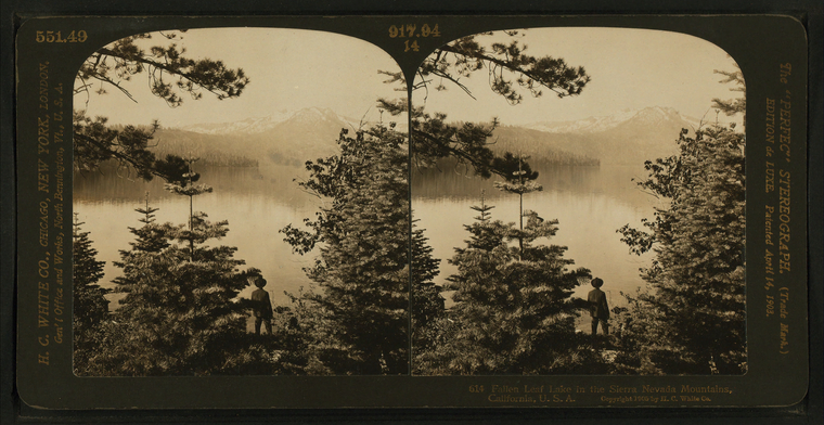
Fallen Leaf Lake in the Sierra Nevada Mountains, California, U.S.A. |
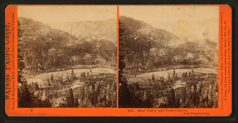
Bear Valley and Yuba Canyon from Emigrant Gap. |
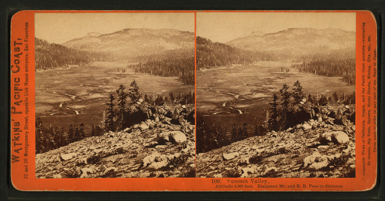
Summit Valley, Altitude 6,960 feet, Emigrant Mt. and R.R. Pass in distance. |
Crystal Lake, Altitude 5,907 feet, 90 miles from Sacramento. |
![Long Ravine Bridge near Colfax. [Train crossing]. Stereoview Card](http://images.nypl.org/index.php?id=G92F102_003F&t=w&download=1&suffix=510d47e0-16af-a3d9-e040-e00a18064a99.001)
