General view of Winchendon, stone fence in foreground. |
||
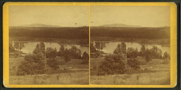
View of a lake or river from a farm.
Photographer: Putnam, George T., 1851-
Subjects: Massachusetts, Barre (Mass.), Massachusetts, Valleys Collection: NYPL Digital Collections: Robert N. Dennis [From The New York Public Library] |
||
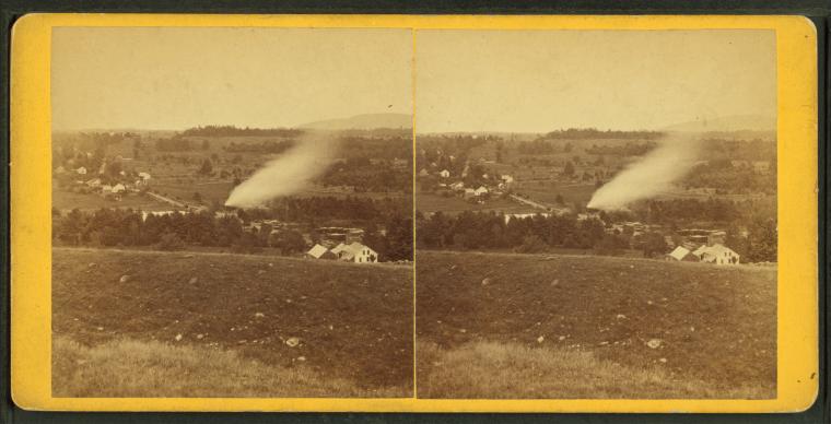
View of a valley with trees, houses and a plume of smoke(?).
Photographer: Jenkins, Harding
Subjects: Massachusetts, Barre (Mass.), Valleys Collection: NYPL Digital Collections: Robert N. Dennis [From The New York Public Library] |
||
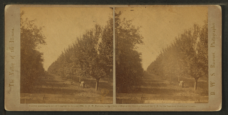
An orchard in the valley of the Illinois, near Peru.
Photographer: Rawson, D.W.S. (d. 1869)
Subjects: Illinois, Valleys, Orchards, Peru (Ill.) Collection: NYPL Digital Collections: Robert N. Dennis [From The New York Public Library] |
||
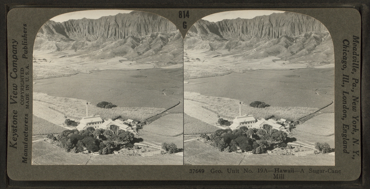
A sugar-cane mill, Hawaii. (Geo. Unit no. 19A).
Publisher: Keystone View Co.
Subjects: Hawaii, Valleys, Sugar industry Collection: NYPL Digital Collections: Robert N. Dennis [From The New York Public Library] |
||
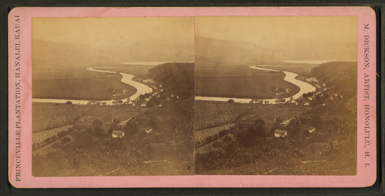
Princeville plantaion, Hanalei, Kauai.
Photographer: Dickson, M. (fl. 1870-1899)
Subjects: Hawaii, Valleys, Hanalei (Hawaii), Homes and haunts Collection: NYPL Digital Collections: Robert N. Dennis [From The New York Public Library] |
||
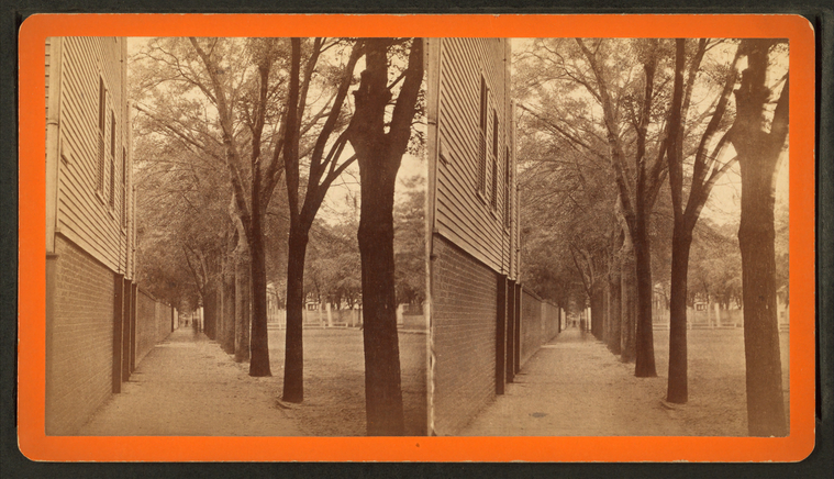
Section of Bull Street, Savannah, Georgia.
Photographer: Wilson, J.N. (Jerome Nelson) (1827-1897 )
Subjects: Georgia, Savannah (Ga.), Houses, Alleys Collection: NYPL Digital Collections: Robert N. Dennis [From The New York Public Library] |
||
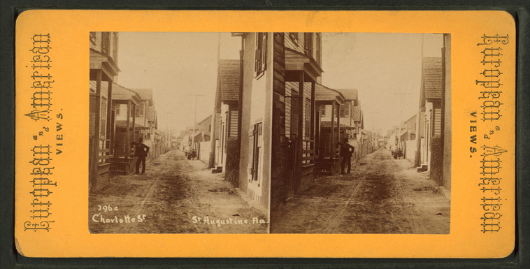
Charlotte St., St. Augustine, Florida
Subjects: Florida, Saint Augustine (Fla.), Streets, Porches, Houses, Alleys
Collection: NYPL Digital Collections: Robert N. Dennis [From The New York Public Library] |
||
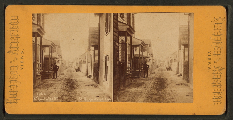
Charlotte St., St. Augustine, Fla.
Subjects: Florida, Saint Augustine (Fla.), Streets, Porches, Houses, Alleys
Collection: NYPL Digital Collections: Robert N. Dennis [From The New York Public Library] |
||
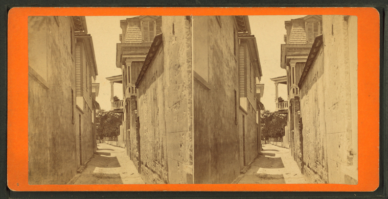
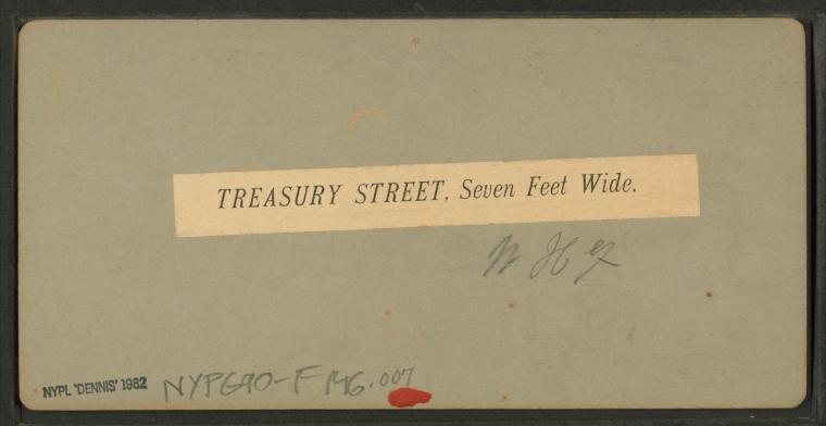
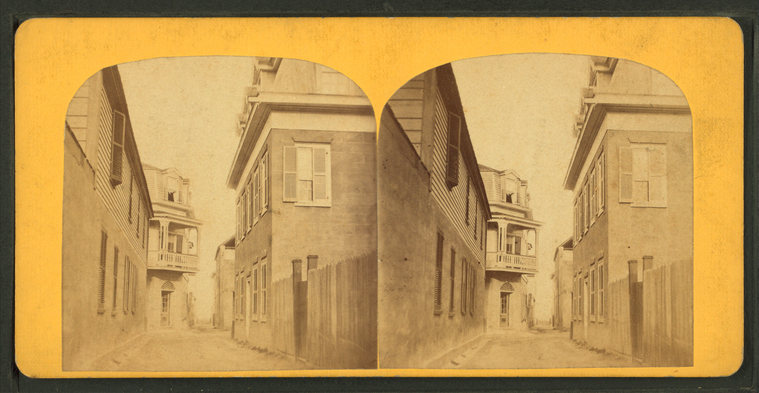
Treasury St., Seven Feet Wide. |
||
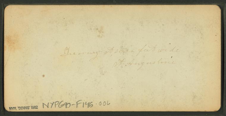
Treasury St., seven feet wide. St. Augustine. |
||
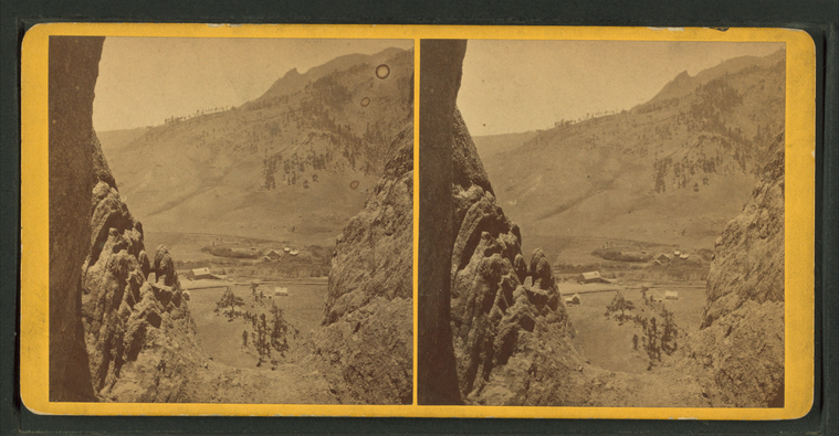
A ranch from a high rocky vantage. |
||
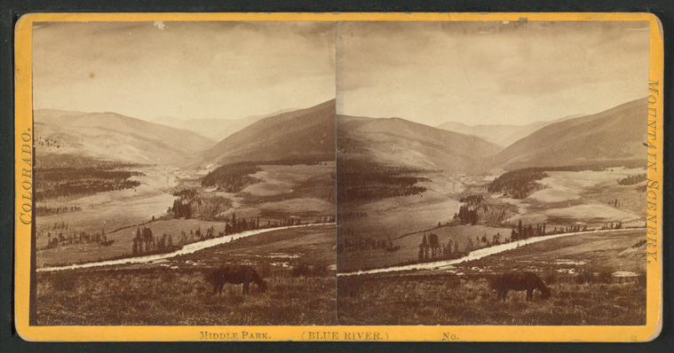
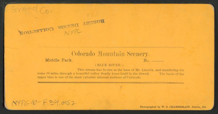
Middle Park (Blue River) |
||
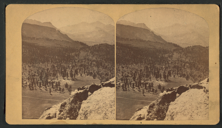
From top Old Man Mountain, looking east.
Publisher: Riddle, J.R.
Series: Riddle's Series of Views of Estes' Park, Colorado. Subjects: Colorado, Colorado, Valleys, Estes Park (Colo.) Collection: NYPL Digital Collections: Robert N. Dennis [From The New York Public Library] |
||
Long's Park, from Mt. Olympus.
Publisher: Riddle, J.R.
Series: Riddle's Series of Views of Estes' Park, Colorado. No.: 5 Subjects: Colorado, Colorado, Valleys, Estes Park (Colo.), Longs Peak (Colo.) Collection: NYPL Digital Collections: Robert N. Dennis [From The New York Public Library] |
||
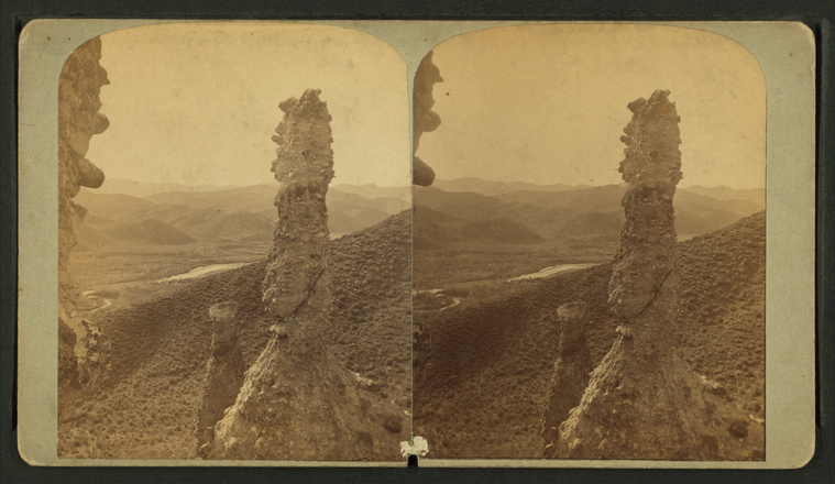
Rock formations.
Subjects: Colorado, Rock formations, Valleys
Collection: NYPL Digital Collections: Robert N. Dennis [From The New York Public Library] |
||
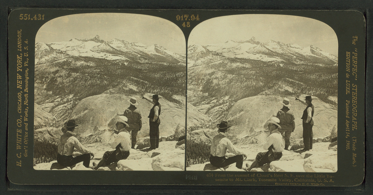
From the Summit of Cloud's Rest S.E. over the Little Yosemite to Mt. Clark, Yosemite Valley, California, U.S.A. |
||
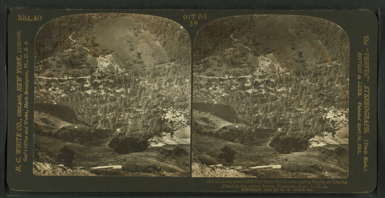
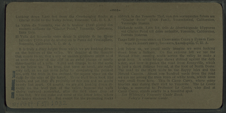
Looking down 3200 feet from the Overhanging Rocks at Glacier Point to the valley below, Yosemite, Cal., U.S.A. |
||
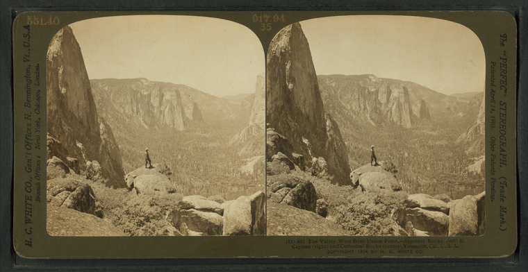
The Valley West from Union Point, - Sentinel Rocks (left) El Capitan (right)and Cathedral Rocks (centre) Yosemite, Cal. U.S.A. |
||
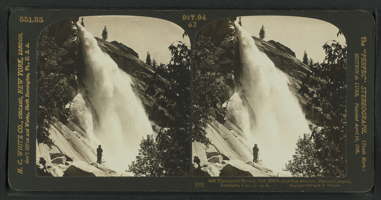
The superb Nevada Fall, 600 ft. slanting descent, Merced Canyon, Yosemite, Cal., U.S.A. |
||
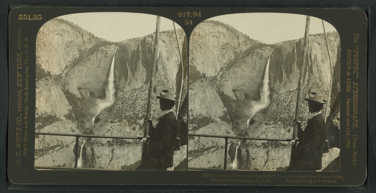
Yosemite Falls (total leap 2500 ft.) across valley from Union Point, Yosemite Valley, Cal., U.S.A. |
||
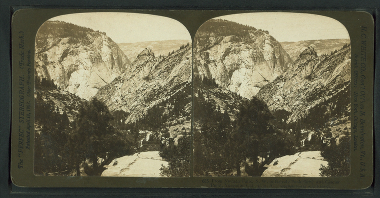
From Nevada Falls, S.W. to Grizzly Peak (left) and Glacier Point, Yosemite, Cal., U.S.A. |
||
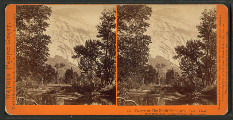
Tacoye, or the North Dome, 3730 feet. View from Hutchings, Yosemite Valley, Mariposa Co. |
||
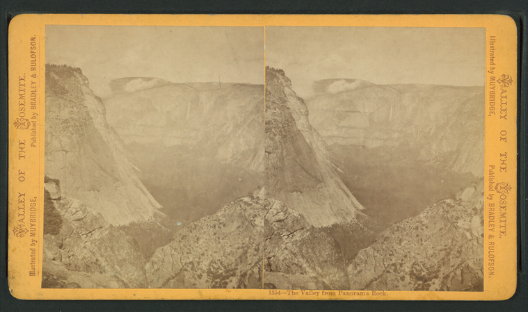
The Valley from Panorama Rock. |
||
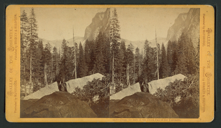
From the base of the Third Fall of the Yosemite. |
||
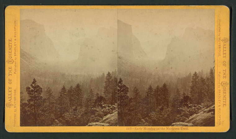
Early morning in the Mariposa Trail. |
||
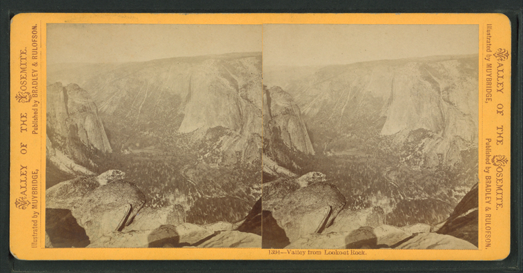
Valley from Lookout Rock. |
||
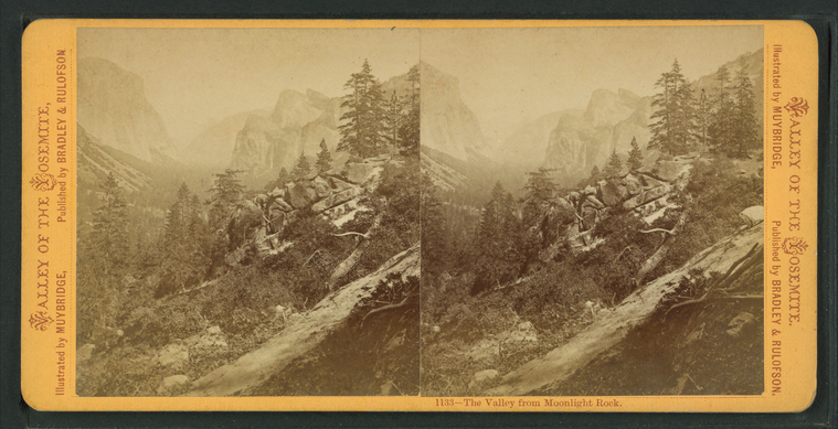
The Valley, from Moonlight Rock. |
||
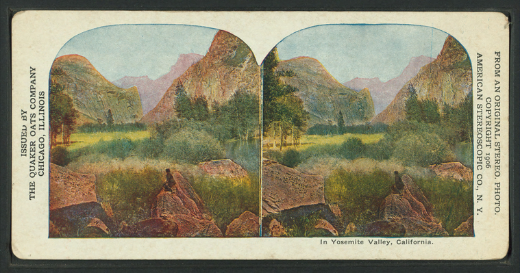
In Yosemite Valley, California.
Publisher: American Stereoscopic Co.
Distributor: Quaker Oats Company Subjects: California, Yosemite Valley (Calif.), Yosemite National Park (Calif.), Valleys Collection: NYPL Digital Collections: Robert N. Dennis [From The New York Public Library] |
||
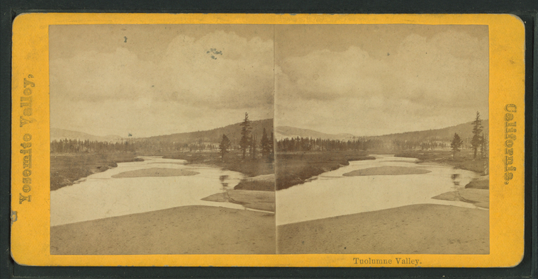
Tuolumne Valley. |


