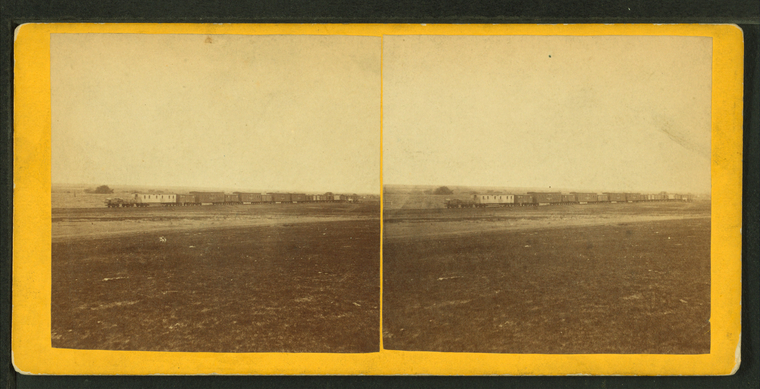
Construction train, west of Hays City, Kansas.
Publisher: Gardner's Photographic Art Gallery
Photographer: Gardner, Alexander (1821-1882)
Subjects: Railroads construction & maintenance, Railroads, Railroad cars, Kansas, Plains
Collection: NYPL Digital Collections: Robert N. Dennis [From The New York Public Library]
Photographer: Gardner, Alexander (1821-1882)
Subjects: Railroads construction & maintenance, Railroads, Railroad cars, Kansas, Plains
Collection: NYPL Digital Collections: Robert N. Dennis [From The New York Public Library]
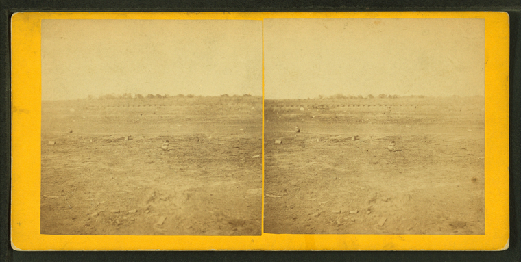
Prairie dog town, Abilene, Kansas, 447 miles west of St. Louis, Mo.
Publisher: Gardner's Photographic Art Gallery
Photographer: Gardner, Alexander (1821-1882)
Subjects: Railroads, Prairie dogs
Collection: NYPL Digital Collections: Robert N. Dennis [From The New York Public Library]
Photographer: Gardner, Alexander (1821-1882)
Subjects: Railroads, Prairie dogs
Collection: NYPL Digital Collections: Robert N. Dennis [From The New York Public Library]
View on Kansas River, at Fort Riley, Kansas, 420 miles west of St. Louis, Mo.
Publisher: Gardner's Photographic Art Gallery
Photographer: Gardner, Alexander (1821-1882)
Subjects: Railroads, Kansas River (Kan.), Fort Riley (Kan.)
Collection: NYPL Digital Collections: Robert N. Dennis [From The New York Public Library]
Photographer: Gardner, Alexander (1821-1882)
Subjects: Railroads, Kansas River (Kan.), Fort Riley (Kan.)
Collection: NYPL Digital Collections: Robert N. Dennis [From The New York Public Library]
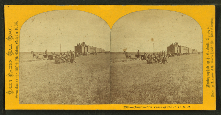
Construction train of the U.P.R.R.
Publisher: Carbutt, John
Photographer: Carbutt, John (1832-1905)
Subjects: Nebraska, Railroads construction & maintenance, Railroads, Trains
Collection: NYPL Digital Collections: Robert N. Dennis [From The New York Public Library]
Photographer: Carbutt, John (1832-1905)
Subjects: Nebraska, Railroads construction & maintenance, Railroads, Trains
Collection: NYPL Digital Collections: Robert N. Dennis [From The New York Public Library]
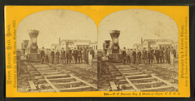
T.C. Durant, Esq. and heads of depts., U.P.R.R.
Publisher: Carbutt, John
Photographer: Carbutt, John (1832-1905)
Subjects: Nebraska, Railroad locomotives
Collection: NYPL Digital Collections: Robert N. Dennis [From The New York Public Library]
Photographer: Carbutt, John (1832-1905)
Subjects: Nebraska, Railroad locomotives
Collection: NYPL Digital Collections: Robert N. Dennis [From The New York Public Library]
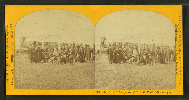
Gro'p of distin. guests of U.P.R.R. at 100th mer. (2)
Publisher: Carbutt, John
Photographer: Carbutt, John (1832-1905)
Subjects: Nebraska, Railroad locomotives, Meridians (Geodesy)
Collection: NYPL Digital Collections: Robert N. Dennis [From The New York Public Library]
Photographer: Carbutt, John (1832-1905)
Subjects: Nebraska, Railroad locomotives, Meridians (Geodesy)
Collection: NYPL Digital Collections: Robert N. Dennis [From The New York Public Library]
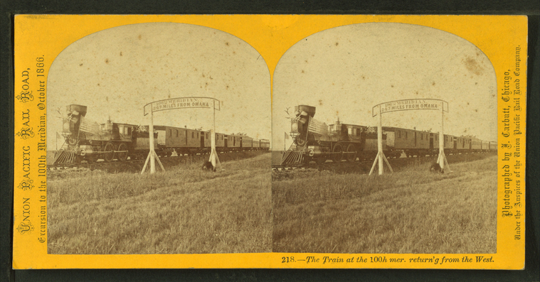
The train at the 100th mer. return'g from the west.
Publisher: Carbutt, John
Photographer: Carbutt, John (1832-1905)
Subjects: Nebraska, Railroad locomotives, Meridians (Geodesy)
Collection: NYPL Digital Collections: Robert N. Dennis [From The New York Public Library]
Photographer: Carbutt, John (1832-1905)
Subjects: Nebraska, Railroad locomotives, Meridians (Geodesy)
Collection: NYPL Digital Collections: Robert N. Dennis [From The New York Public Library]
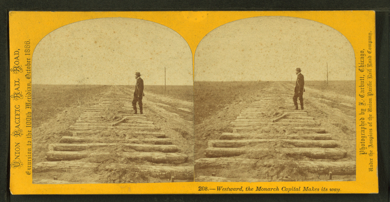
Westward the Monarch Capital makes its way.
Publisher: Carbutt, John
Photographer: Carbutt, John (1832-1905)
Subjects: Nebraska, Railroads construction & maintenance
Collection: NYPL Digital Collections: Robert N. Dennis [From The New York Public Library]
Photographer: Carbutt, John (1832-1905)
Subjects: Nebraska, Railroads construction & maintenance
Collection: NYPL Digital Collections: Robert N. Dennis [From The New York Public Library]
Group of Pawnee warrs. [warriors] & palace cars of U.P.R.R.
Publisher: Carbutt, John
Photographer: Carbutt, John (1832-1905)
Subjects: Nebraska, Pawnee Indians, Railroad passenger cars
Collection: NYPL Digital Collections: Robert N. Dennis [From The New York Public Library]
Photographer: Carbutt, John (1832-1905)
Subjects: Nebraska, Pawnee Indians, Railroad passenger cars
Collection: NYPL Digital Collections: Robert N. Dennis [From The New York Public Library]
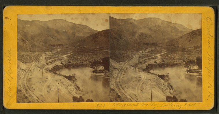
Pleasant Valley, looking East.
Publisher: Hart, Alfred A.
Photographer: Hart, Alfred A. (1816-1908)
Subjects: Sierra Nevada (Calif. and Nev.), Canyons, Valleys, Railroad tracks, Truckee River (Calif. and Nev.)
Collection: NYPL Digital Collections: Robert N. Dennis [From The New York Public Library]
Photographer: Hart, Alfred A. (1816-1908)
Subjects: Sierra Nevada (Calif. and Nev.), Canyons, Valleys, Railroad tracks, Truckee River (Calif. and Nev.)
Collection: NYPL Digital Collections: Robert N. Dennis [From The New York Public Library]
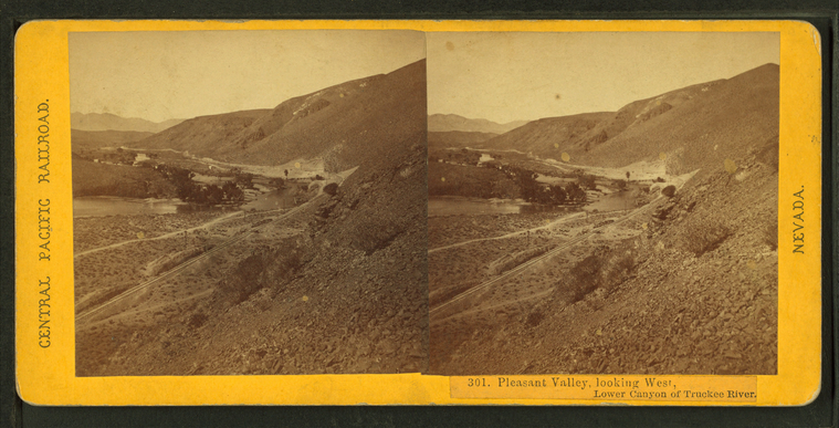
Pleasant Valley, looking West, Lower Canyon of Truckee River.
Publisher: Hart, Alfred A.
Photographer: Hart, Alfred A. (1816-1908)
Subjects: Sierra Nevada (Calif. and Nev.), Canyons, Valleys, Railroad tracks, Truckee River (Calif. and Nev.)
Collection: NYPL Digital Collections: Robert N. Dennis [From The New York Public Library]
Photographer: Hart, Alfred A. (1816-1908)
Subjects: Sierra Nevada (Calif. and Nev.), Canyons, Valleys, Railroad tracks, Truckee River (Calif. and Nev.)
Collection: NYPL Digital Collections: Robert N. Dennis [From The New York Public Library]
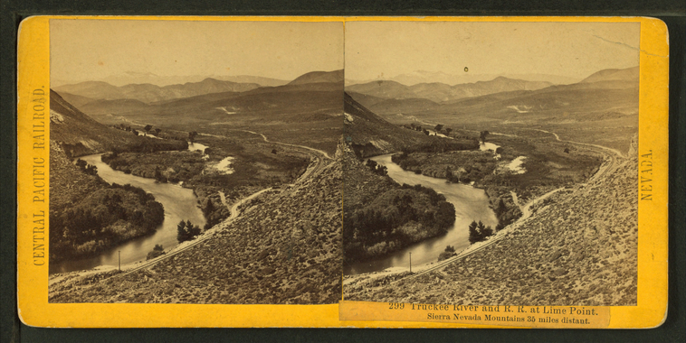
Truckee River and R.R. at Lime Point. Sierra Nevada Mountains, 35 miles distant.
Publisher: Hart, Alfred A.
Photographer: Hart, Alfred A. (1816-1908)
Subjects: Sierra Nevada (Calif. and Nev.), Canyons, Railroad tracks, Truckee River (Calif. and Nev.)
Collection: NYPL Digital Collections: Robert N. Dennis [From The New York Public Library]
Photographer: Hart, Alfred A. (1816-1908)
Subjects: Sierra Nevada (Calif. and Nev.), Canyons, Railroad tracks, Truckee River (Calif. and Nev.)
Collection: NYPL Digital Collections: Robert N. Dennis [From The New York Public Library]
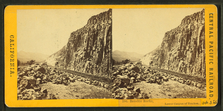
Basaltic Rocks, Lower Canyon of the Truckee.
Publisher: Hart, Alfred A.
Photographer: Hart, Alfred A. (1816-1908)
Subjects: Sierra Nevada (Calif. and Nev.), Canyons, Railroad tracks, Volcanic rock
Collection: NYPL Digital Collections: Robert N. Dennis [From The New York Public Library]
Photographer: Hart, Alfred A. (1816-1908)
Subjects: Sierra Nevada (Calif. and Nev.), Canyons, Railroad tracks, Volcanic rock
Collection: NYPL Digital Collections: Robert N. Dennis [From The New York Public Library]
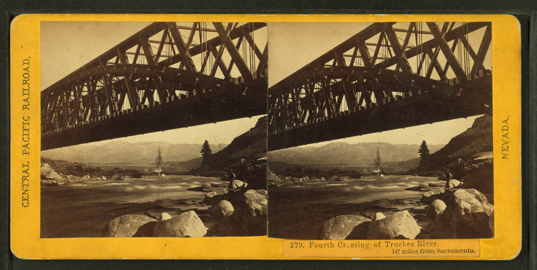
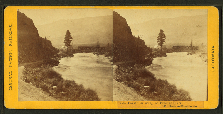
Fourth Crossing of the Truckee River. 147 miles from Sacramento.
Publisher: Hart, Alfred A.
Photographer: Hart, Alfred A. (1816-1908)
Subjects: Sierra Nevada (Calif. and Nev.), Rock formations, Railroad bridges, Truckee River (Calif. and Nev.)
Collection: NYPL Digital Collections: Robert N. Dennis [From The New York Public Library]
Photographer: Hart, Alfred A. (1816-1908)
Subjects: Sierra Nevada (Calif. and Nev.), Rock formations, Railroad bridges, Truckee River (Calif. and Nev.)
Collection: NYPL Digital Collections: Robert N. Dennis [From The New York Public Library]
Fourth Crossing of the Truckee River. 147 miles from Sacramento.
Publisher: Hart, Alfred A.
Photographer: Hart, Alfred A. (1816-1908)
Subjects: Sierra Nevada (Calif. and Nev.), Railroad bridges, Truckee River (Calif. and Nev.)
Collection: NYPL Digital Collections: Robert N. Dennis [From The New York Public Library]
Photographer: Hart, Alfred A. (1816-1908)
Subjects: Sierra Nevada (Calif. and Nev.), Railroad bridges, Truckee River (Calif. and Nev.)
Collection: NYPL Digital Collections: Robert N. Dennis [From The New York Public Library]
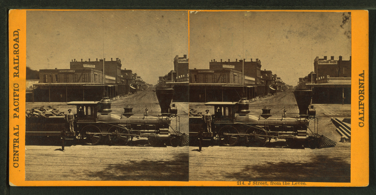
J Street from the levee.
Publisher: Hart, Alfred A.
Photographer: Hart, Alfred A. (1816-1908)
Subjects: Sierra Nevada (Calif. and Nev.), Railroad locomotives, Railroad employees
Collection: NYPL Digital Collections: Robert N. Dennis [From The New York Public Library]
Photographer: Hart, Alfred A. (1816-1908)
Subjects: Sierra Nevada (Calif. and Nev.), Railroad locomotives, Railroad employees
Collection: NYPL Digital Collections: Robert N. Dennis [From The New York Public Library]
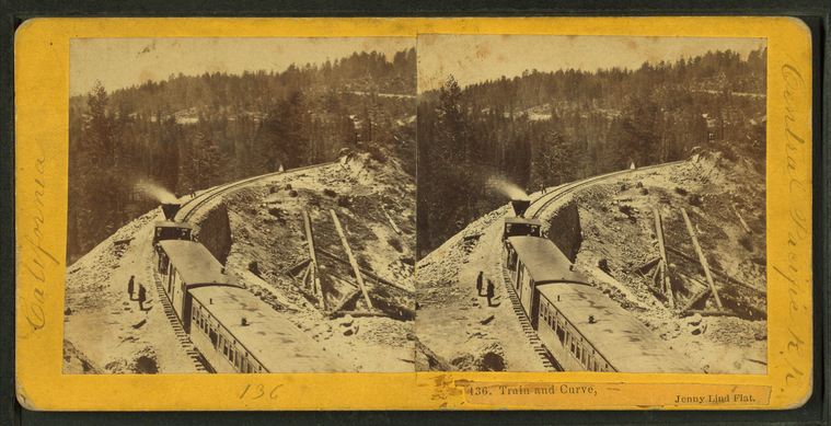
Train and Curve, Jenny Lind Flat.
Publisher: Hart, Alfred A.
Photographer: Hart, Alfred A. (1816-1908)
Subjects: Sierra Nevada (Calif. and Nev.), Railroad locomotives, Mountain railroads
Collection: NYPL Digital Collections: Robert N. Dennis [From The New York Public Library]
Photographer: Hart, Alfred A. (1816-1908)
Subjects: Sierra Nevada (Calif. and Nev.), Railroad locomotives, Mountain railroads
Collection: NYPL Digital Collections: Robert N. Dennis [From The New York Public Library]
Long Ravine Bridge near Colfax. [Train crossing].
Publisher: Hart, Alfred A.
Photographer: Hart, Alfred A. (1816-1908)
Subjects: Sierra Nevada (Calif. and Nev.), Railroad bridges, Railroad crossings
Collection: NYPL Digital Collections: Robert N. Dennis [From The New York Public Library]
Photographer: Hart, Alfred A. (1816-1908)
Subjects: Sierra Nevada (Calif. and Nev.), Railroad bridges, Railroad crossings
Collection: NYPL Digital Collections: Robert N. Dennis [From The New York Public Library]
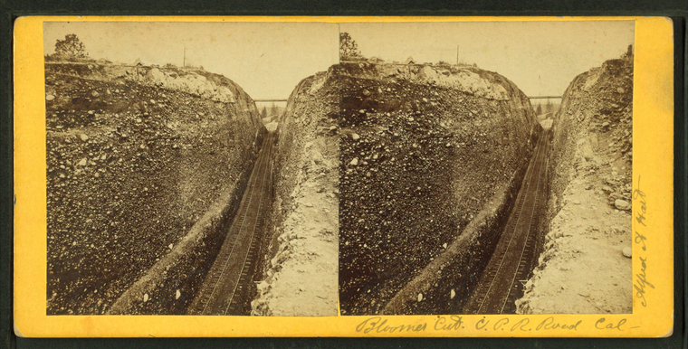
Bloomer Cut, C.P.R. Road, Calif.
Publisher: Hart, Alfred A.
Photographer: Hart, Alfred A. (1816-1908)
Subjects: Sierra Nevada (Calif. and Nev.), Mountain railroads
Collection: NYPL Digital Collections: Robert N. Dennis [From The New York Public Library]
Photographer: Hart, Alfred A. (1816-1908)
Subjects: Sierra Nevada (Calif. and Nev.), Mountain railroads
Collection: NYPL Digital Collections: Robert N. Dennis [From The New York Public Library]
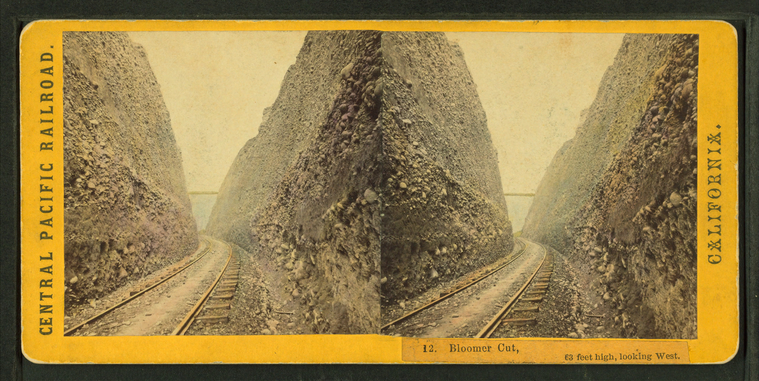
Bloomer Cut, 63 feet high, looking West.
Publisher: Hart, Alfred A.
Photographer: Hart, Alfred A. (1816-1908)
Subjects: Sierra Nevada (Calif. and Nev.), Mountain railroads
Collection: NYPL Digital Collections: Robert N. Dennis [From The New York Public Library]
Photographer: Hart, Alfred A. (1816-1908)
Subjects: Sierra Nevada (Calif. and Nev.), Mountain railroads
Collection: NYPL Digital Collections: Robert N. Dennis [From The New York Public Library]
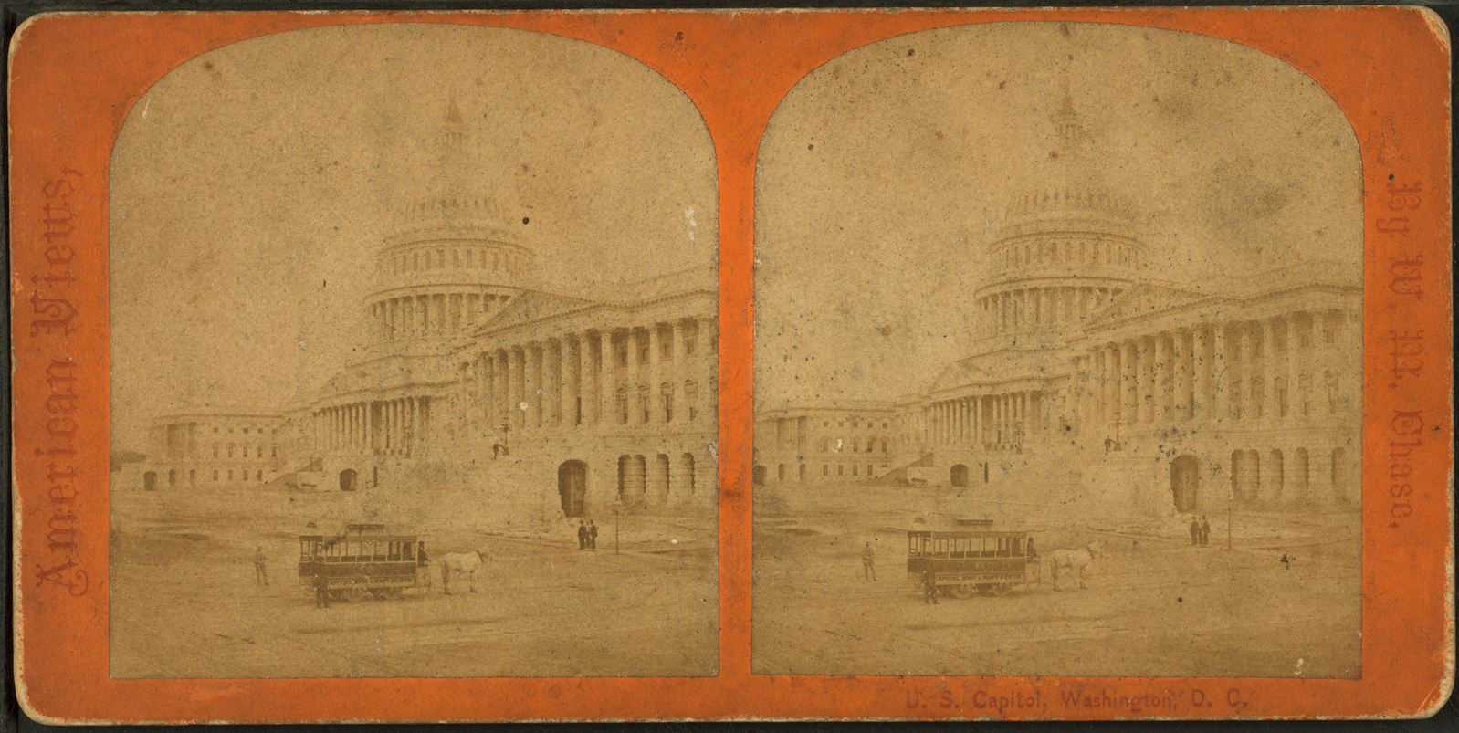
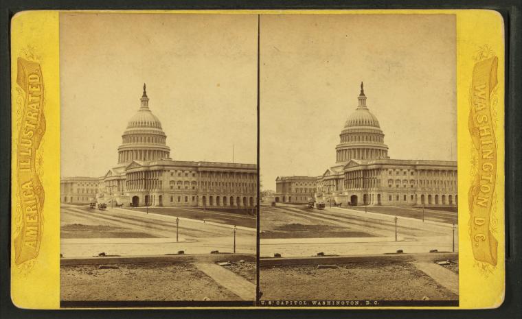
U.S. Capitol, Washington, D.C.
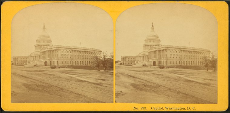
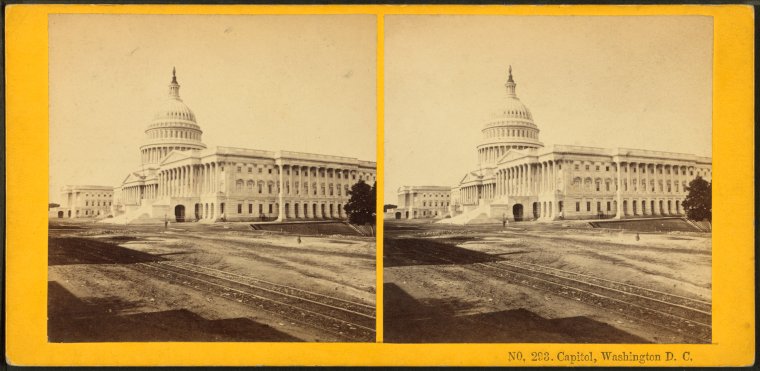
Capitol, Washington, D.C.
Photographer: Kilburn Brothers
Subjects: Washington (D.C.), Washington (D.C.), Capitols, United States, Capital and capitol, Railroad tracks, Exteriors
Collection: NYPL Digital Collections: Robert N. Dennis [From The New York Public Library]
Subjects: Washington (D.C.), Washington (D.C.), Capitols, United States, Capital and capitol, Railroad tracks, Exteriors
Collection: NYPL Digital Collections: Robert N. Dennis [From The New York Public Library]
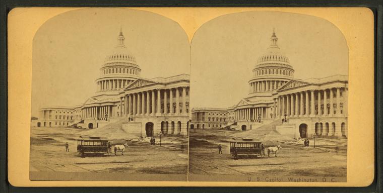
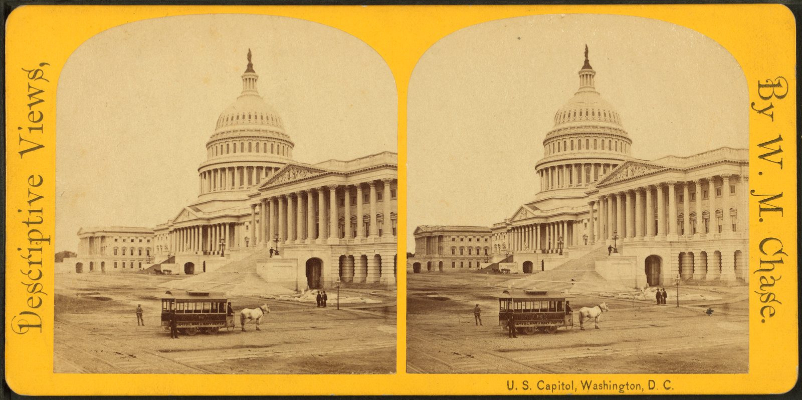
U.S. Capitol. Washington, D.C.
Photographer: William M. Chase
Subjects: Washington (D.C.), Washington (D.C.), Capitols, United States, Capital and capitol, Horse railroads, Exteriors
Collection: NYPL Digital Collections: Robert N. Dennis [From The New York Public Library]
Subjects: Washington (D.C.), Washington (D.C.), Capitols, United States, Capital and capitol, Horse railroads, Exteriors
Collection: NYPL Digital Collections: Robert N. Dennis [From The New York Public Library]
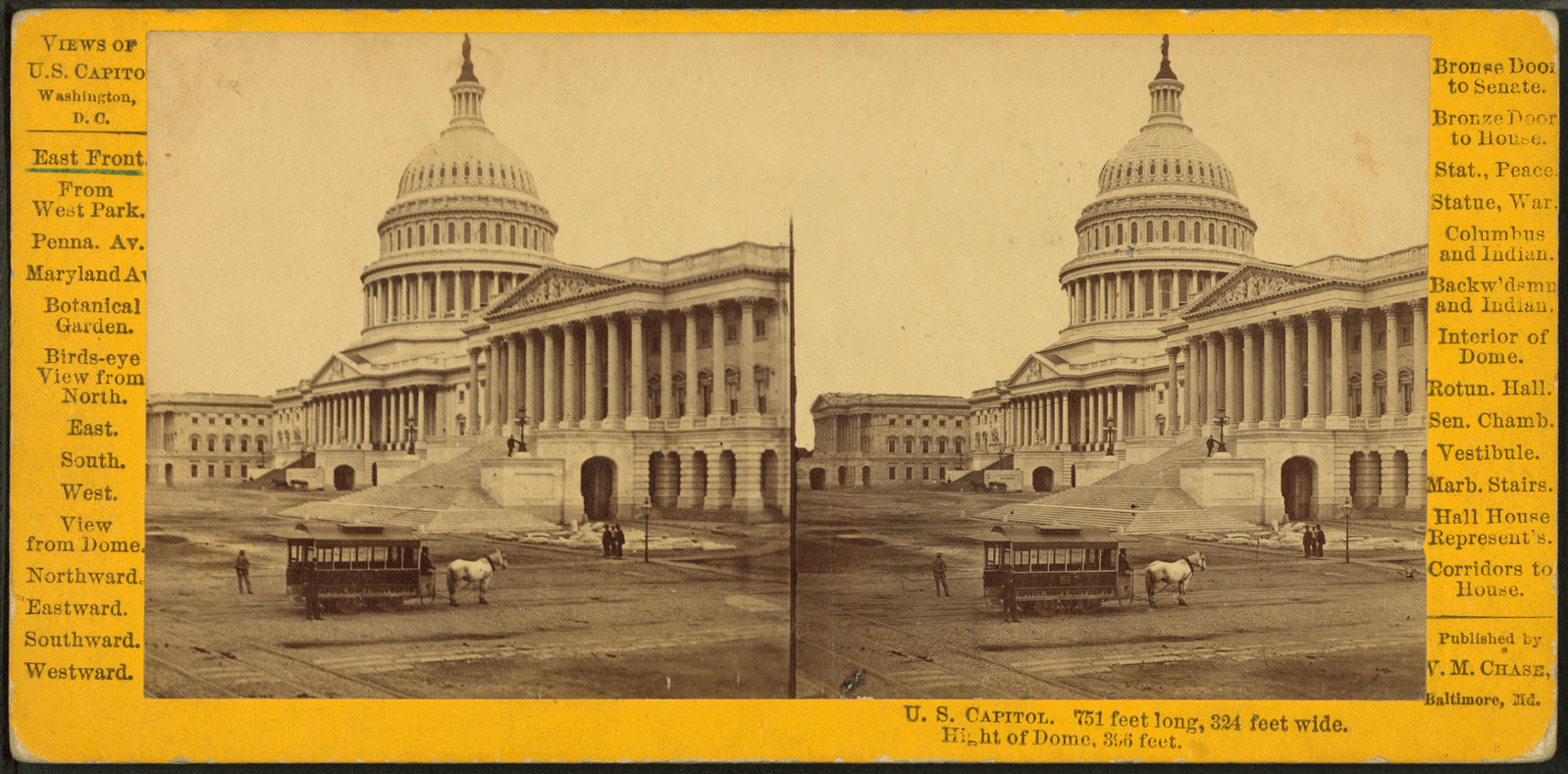
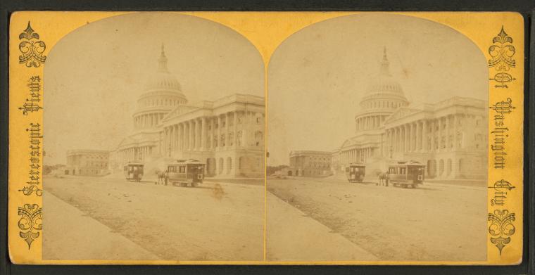
U.S. Capitol. East Front.
Photographer: William M. Chase
Subjects: Washington (D.C.), Washington (D.C.), Capitols, United States, Capital and capitol, Horse railroads, Exteriors
Collection: NYPL Digital Collections: Robert N. Dennis [From The New York Public Library]
Subjects: Washington (D.C.), Washington (D.C.), Capitols, United States, Capital and capitol, Horse railroads, Exteriors
Collection: NYPL Digital Collections: Robert N. Dennis [From The New York Public Library]
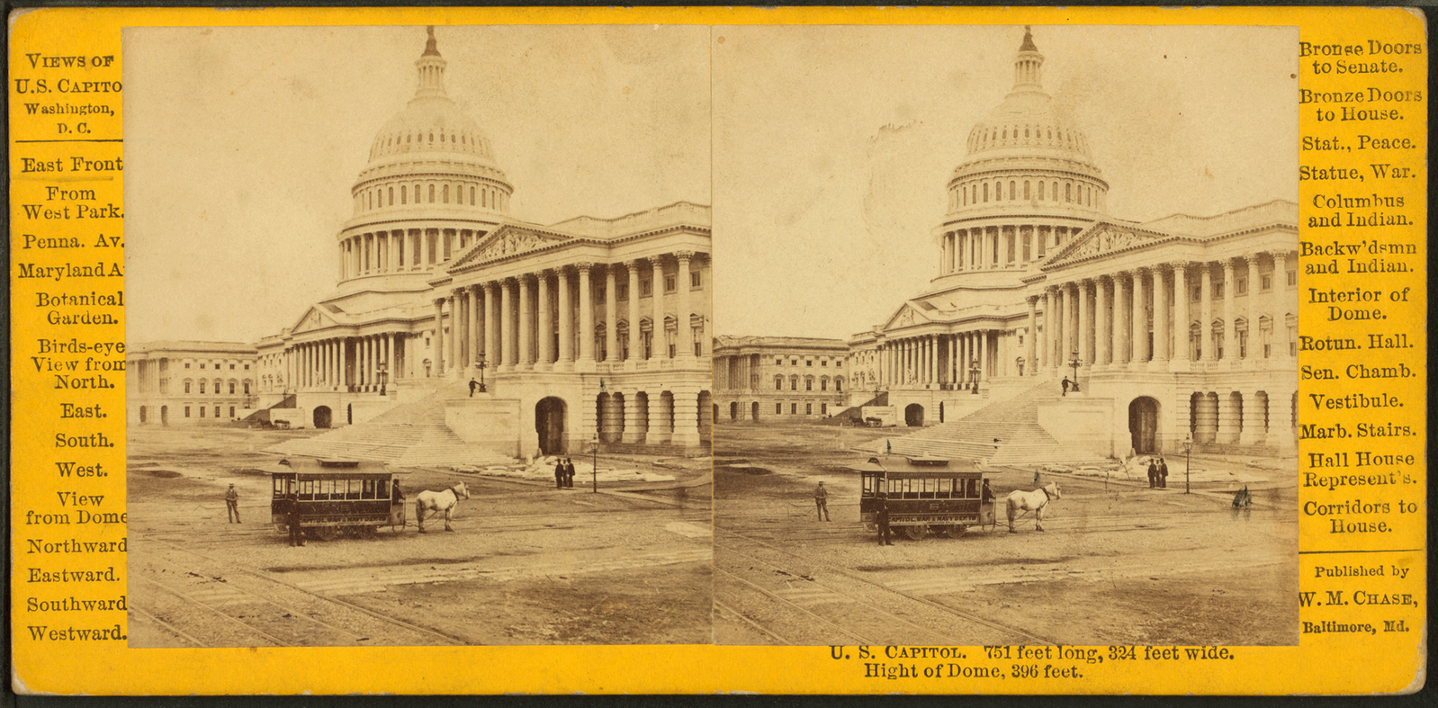
U.S. Capitol, East Front.
Photographer: William M. Chase
Subjects: Washington (D.C.), Washington (D.C.), Capitols, United States, Capital and capitol, Horse railroads, Exteriors
Collection: NYPL Digital Collections: Robert N. Dennis [From The New York Public Library]
Subjects: Washington (D.C.), Washington (D.C.), Capitols, United States, Capital and capitol, Horse railroads, Exteriors
Collection: NYPL Digital Collections: Robert N. Dennis [From The New York Public Library]
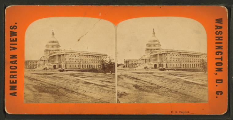
U.S. Capitol. Washington, D.C.
Photographer: William M. Chase
Subjects: Washington (D.C.), Washington (D.C.), Capitols, United States, Capital and capitol, Horse railroads, Exteriors
Collection: NYPL Digital Collections: Robert N. Dennis [From The New York Public Library]
Subjects: Washington (D.C.), Washington (D.C.), Capitols, United States, Capital and capitol, Horse railroads, Exteriors
Collection: NYPL Digital Collections: Robert N. Dennis [From The New York Public Library]

![Group of Pawnee warrs. [warriors] & palace cars of U.P.R.R. Stereoview Card](http://images.nypl.org/index.php?id=G92F100_004F&t=w&download=1&suffix=510d47e0-166f-a3d9-e040-e00a18064a99.001)
![Long Ravine Bridge near Colfax. [Train crossing]. Stereoview Card](http://images.nypl.org/index.php?id=G92F102_003F&t=w&download=1&suffix=510d47e0-16af-a3d9-e040-e00a18064a99.001)
