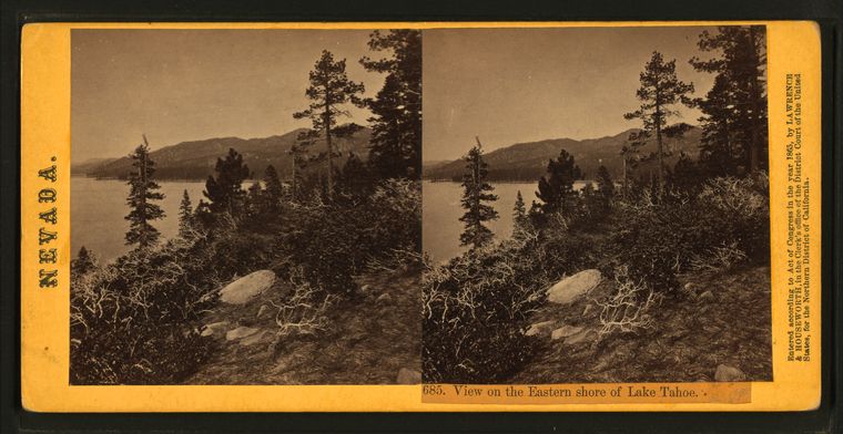
View on the Eastern shore of Lake Tahoe. |
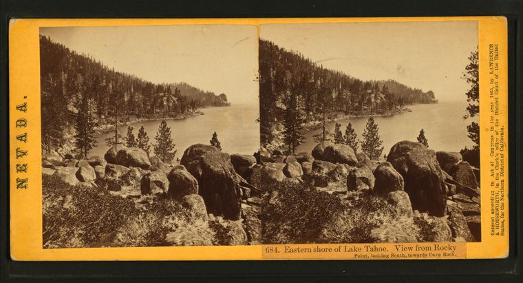
Eastern shore of Lake Tahoe. View from Rocky Point, looking South, towards Cave Rock. |
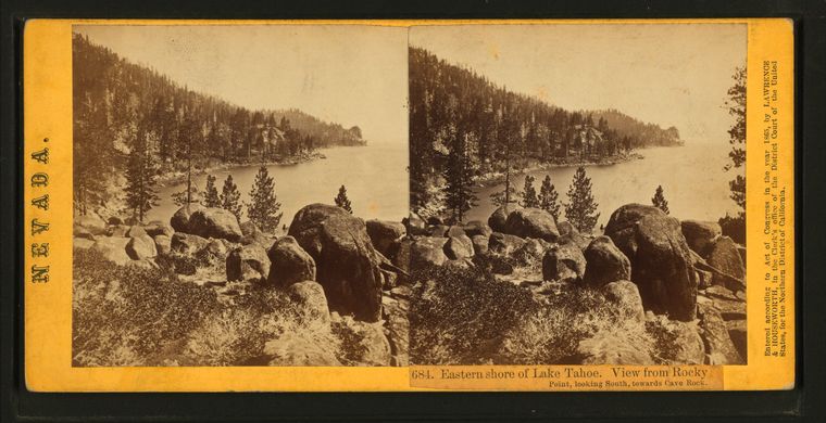
Eastern shore of Lake Tahoe. View from Rocky Point, looking South, towards Cave Rock. |
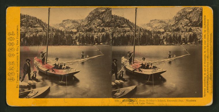
Eagle Gabon, from Eckley's Island, Emerald Bay, western shore of Lake Tahoe. |
Sceney on the north fork of the Mokelumne River and Amador Canal. |
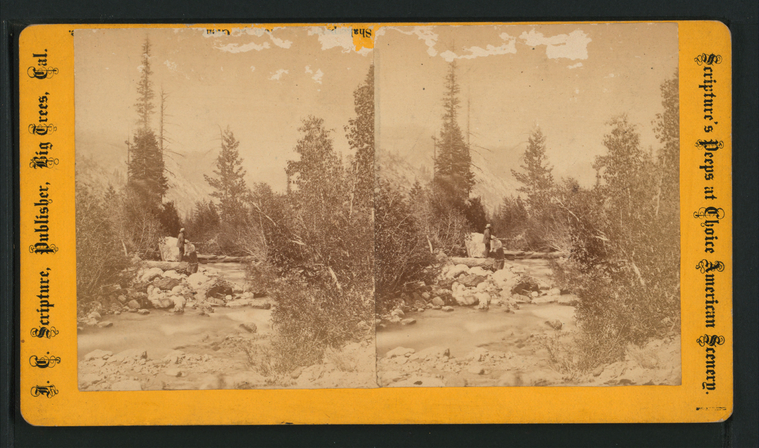
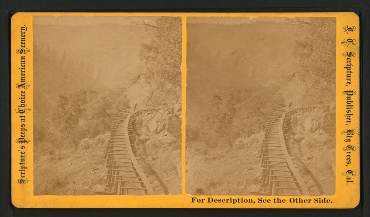
Scenery on the north fork of the Mokelumne River and Amador Canal. |
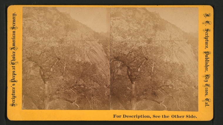
A Fine view of the celebrated "Bald Rock", on the North Fork of the Mokelumme River. |
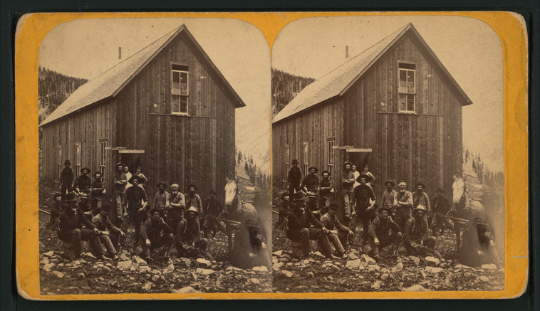
Palmetto Boarding House afer dinner, California. |
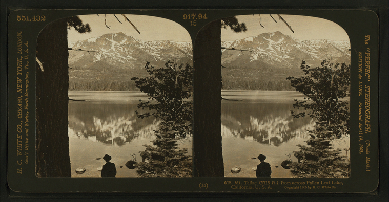
Mt. Tallac (9715 ft.) from across Fallen Leaf Lake, California, U.S.A. |
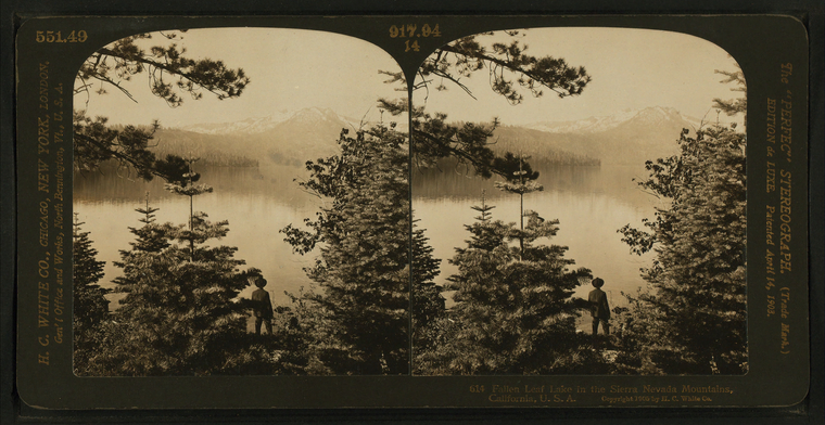
Fallen Leaf Lake in the Sierra Nevada Mountains, California, U.S.A. |
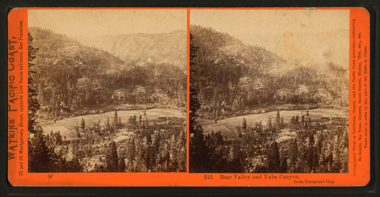
Bear Valley and Yuba Canyon from Emigrant Gap. |
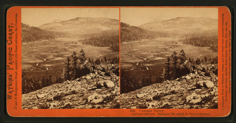
Summit Valley, Altitude 6,960 feet, Emigrant Mt. and R.R. Pass in distance. |
Crystal Lake, Altitude 5,907 feet, 90 miles from Sacramento. |
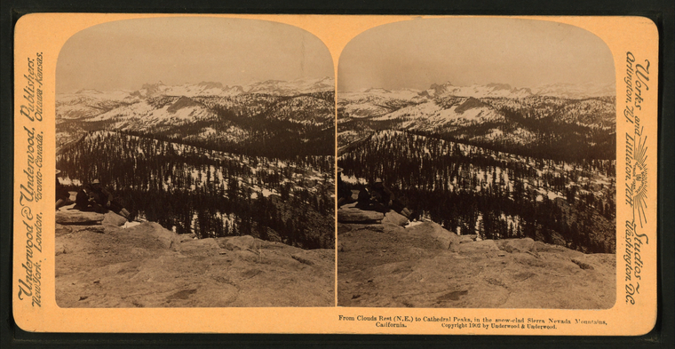
From clouds rest (N.E.) to Cathedral Peaks, in the snow-clad Sierra Nevada Mountians, California. |
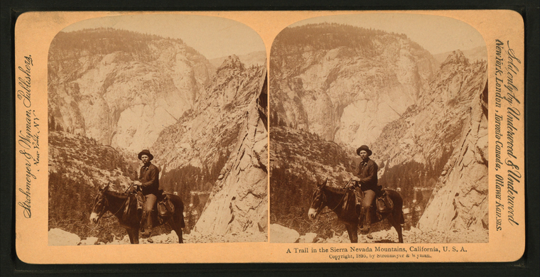
A trail in the Sierra Nevada Mountians, California, U.S.A.
Publisher: Strohmeyer & Wyman
Distributor: Underwood & Underwood Subjects: California, Sierra Nevada (Calif. and Nev.), California, Mountains, Horseback riding, Trails & paths Collection: NYPL Digital Collections: Robert N. Dennis [From The New York Public Library] |
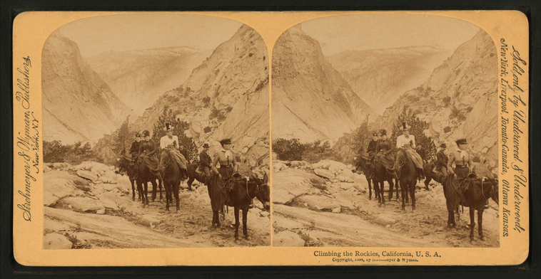
Climbing the Rockies, California, U.S.A.
Publisher: Strohmeyer & Wyman
Distributor: Underwood & Underwood Subjects: California, Sierra Nevada (Calif. and Nev.), California, Mountains, Horseback riding Collection: NYPL Digital Collections: Robert N. Dennis [From The New York Public Library] |
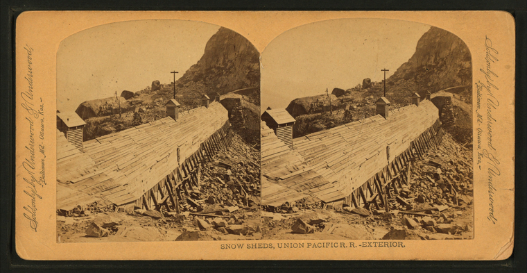
Snow sheds, Union Pacific R.R. - Exterior. |
Summit of the western ridge of the Sierras, on the Big Tree and Carson Valley Road looking south. |
Summit of the western ridge of the Sierras, on the Big Tree and Carson Valley Road looking north. |
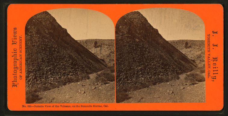
Outside view of the Volcano, on the Summit Sierras, Cal. |
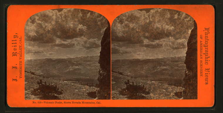
Volcanic Peaks, Sierra Nevada Mountians, Cal. |
In the Far Famed Bloody Canyon, Sierras, Cal. |
Beauties of the Sierra Nevada Mountains, Lake Angeline, California. |
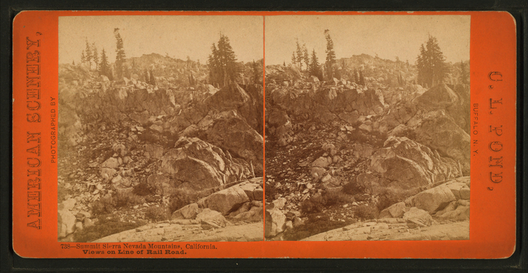
Summit Sierra Nevada Mountains, California. |
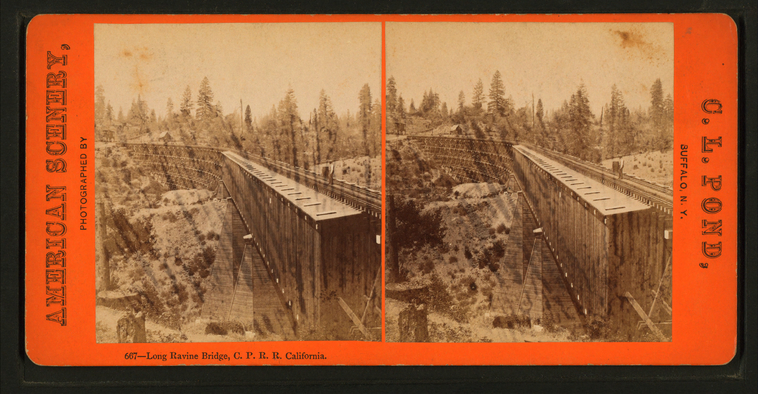
Long Ravine Bridge, C.P.R.R. California. |
Interior of snow shed, Summit Station, Sierra Nevada Mountains, C.P.R.R. |
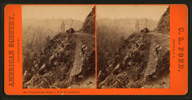
View at Cape Horn, C.P.R.R. California. |
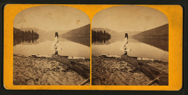
Donner Lake, Cal. |
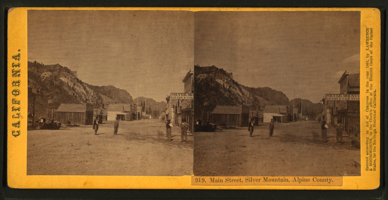
Main Street, Silver Mountain, Alpine County. |
Reflection of Mount Lincoln and Donner Peak, from Donner Lake. |
