Yo-Semite Fall, (2,634 feet high), from near Sentinel House; P.T. Barnum and Party.
Publisher: Soule, John P.
Photographer: Hazeltine, Martin Mason No.: 1219 Subjects: California, Yosemite Valley (Calif.), Yosemite National Park (Calif.), P.T. Barnum, People, Waterfalls, National Parks Collection: User Contributed (Nathan Moore) Location Map |
||
Yosemite Valley, from Inspiration Point. |
||
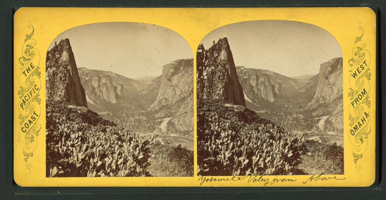
Yosemite Valley, from above. |
||
Ladder leading to Vernal Fall. |
||
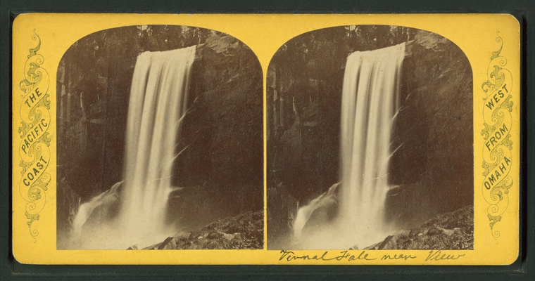
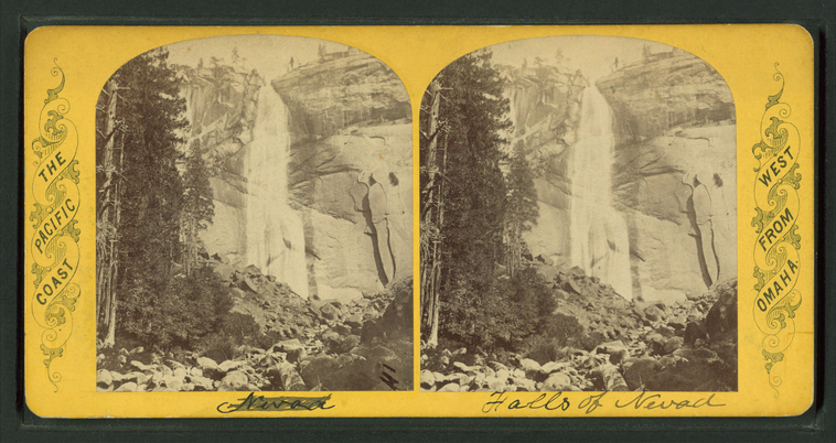
Vernal Falls, near view. |
||
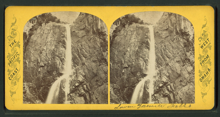
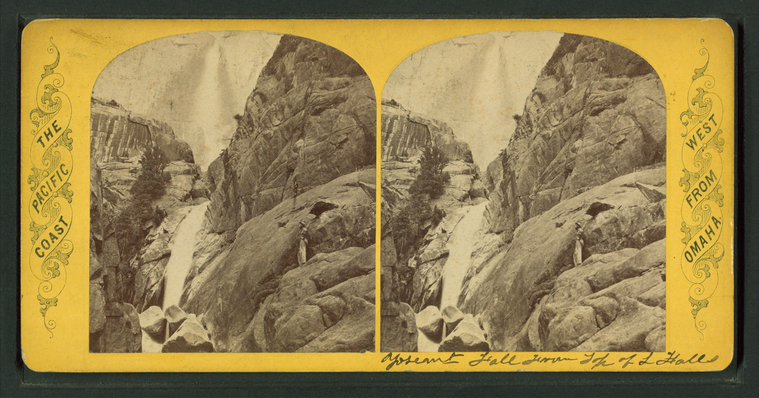
Lower Yosemite Falls. |
||
Yosemite Upper Falls, 1,600 feet. |
||
Yosemite Falls from top of Lower Falls. |
||
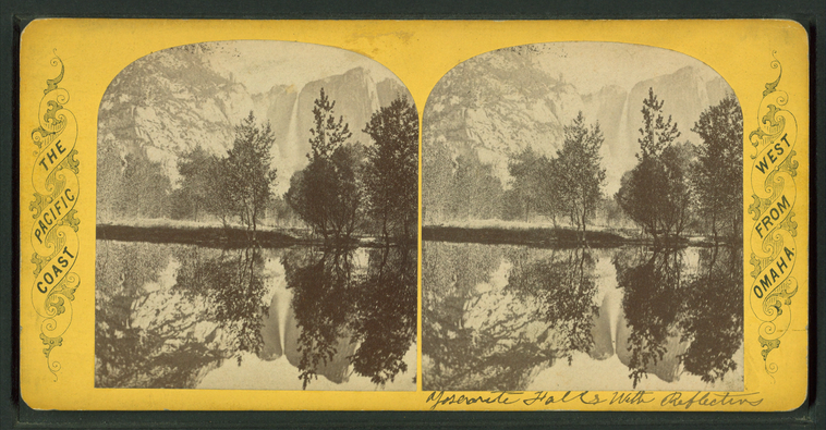
Yosemite Falls with reflection. |
||
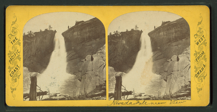
Nevada Fall near view. |
||
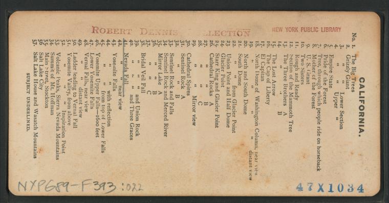
Nevada Fall. |
||
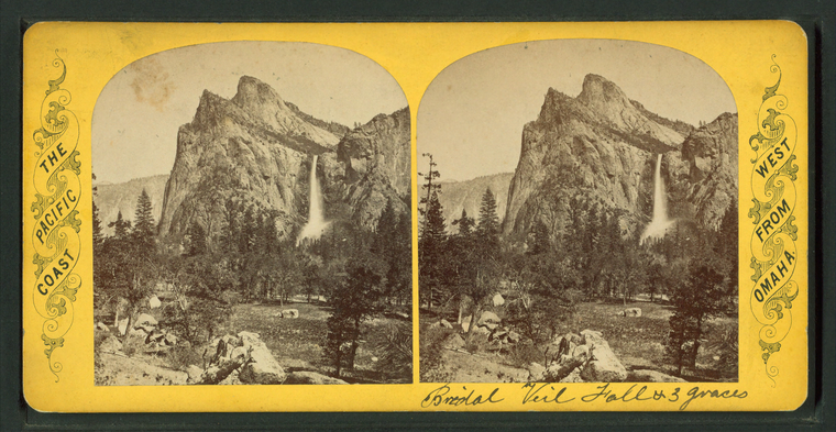
Bridal Veil Fall and Three Graces. |
||
Bridal Veil Fall and Union Rock. |
||
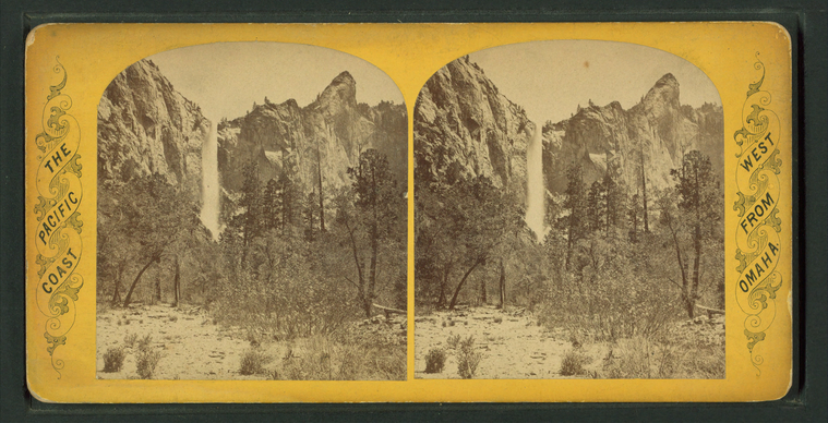
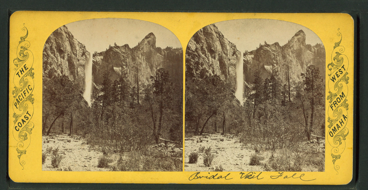
Bridal Veil Fall. |
||
Bridal Veil Fall. |
||
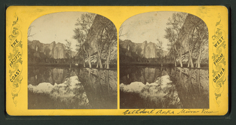
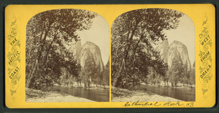
Cathedral Rocks mirror view. |
||
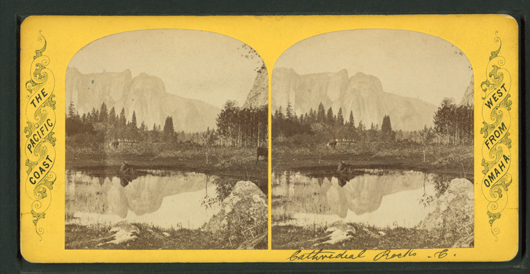
Cathedral Rocks C. |
||
Cathedral Rocks B. |
||
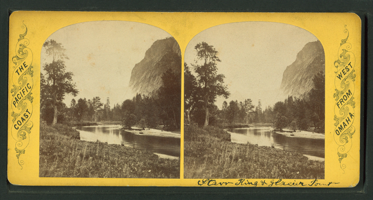
Starr King and Glacier Point. |
||
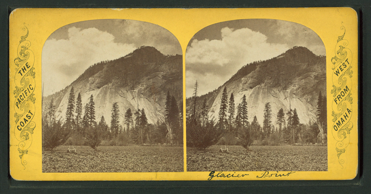
Glacier Point. |
||
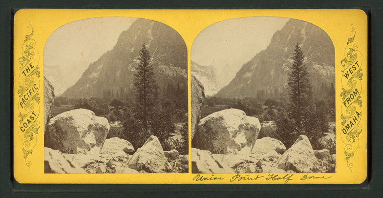
Union Point and Half Dome. |
||
South dome [of Washington Columns] from Glacier Point. |
||
South dome [Washington Columns]. |
||
South dome [Washington Columns]. |
||
North and south dome [Washington Columns]. |
||
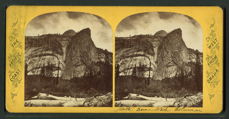
North dome of Washington Columns, distant view. |
||
North dome of Washington Columns, near view. |
||
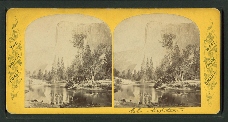
El Capitan |
||
The Cap of Liberty [rock formation]. |
||
The Lost Arrow. [View of moutains and river valley.] |





![South dome [of Washington Columns] from Glacier Point. Stereoview Card](http://images.nypl.org/index.php?id=G89F393_011F&t=w&download=1&suffix=510d47e0-3f21-a3d9-e040-e00a18064a99.001)
![South dome [of Washington Columns] from Glacier Point. Stereoview Card](http://images.nypl.org/index.php?id=G89F393_011B&t=w&download=1&suffix=510d47e0-3f20-a3d9-e040-e00a18064a99.001)
![South dome [Washington Columns]. Stereoview Card](http://images.nypl.org/index.php?id=G89F393_010F&t=w&download=1&suffix=510d47e0-3f1f-a3d9-e040-e00a18064a99.001)
![South dome [Washington Columns]. Stereoview Card](http://images.nypl.org/index.php?id=G89F393_010B&t=w&download=1&suffix=510d47e0-3f1e-a3d9-e040-e00a18064a99.001)
![South dome [Washington Columns]. Stereoview Card](http://images.nypl.org/index.php?id=G89F393_009F&t=w&download=1&suffix=510d47e0-3f1d-a3d9-e040-e00a18064a99.001)
![South dome [Washington Columns]. Stereoview Card](http://images.nypl.org/index.php?id=G89F393_009B&t=w&download=1&suffix=510d47e0-3f1c-a3d9-e040-e00a18064a99.001)
![North and south dome [Washington Columns]. Stereoview Card](http://images.nypl.org/index.php?id=G89F393_008F&t=w&download=1&suffix=510d47e0-3f1b-a3d9-e040-e00a18064a99.001)
![North and south dome [Washington Columns]. Stereoview Card](http://images.nypl.org/index.php?id=G89F393_008B&t=w&download=1&suffix=510d47e0-3f1a-a3d9-e040-e00a18064a99.001)

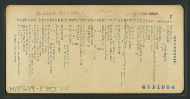
![The Cap of Liberty [rock formation]. Stereoview Card](http://images.nypl.org/index.php?id=G89F393_004F&t=w&download=1&suffix=510d47e0-3f13-a3d9-e040-e00a18064a99.001)
![The Cap of Liberty [rock formation]. Stereoview Card](http://images.nypl.org/index.php?id=G89F393_004B&t=w&download=1&suffix=510d47e0-3f12-a3d9-e040-e00a18064a99.001)
![The Lost Arrow. [View of moutains and river valley.] Stereoview Card](http://images.nypl.org/index.php?id=G89F393_003F&t=w&download=1&suffix=510d47e0-3f11-a3d9-e040-e00a18064a99.001)
![The Lost Arrow. [View of moutains and river valley.] Stereoview Card](http://images.nypl.org/index.php?id=G89F393_003B&t=w&download=1&suffix=510d47e0-3f10-a3d9-e040-e00a18064a99.001)