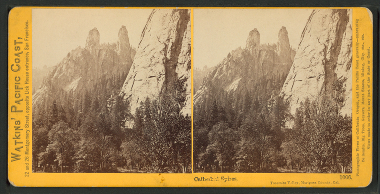
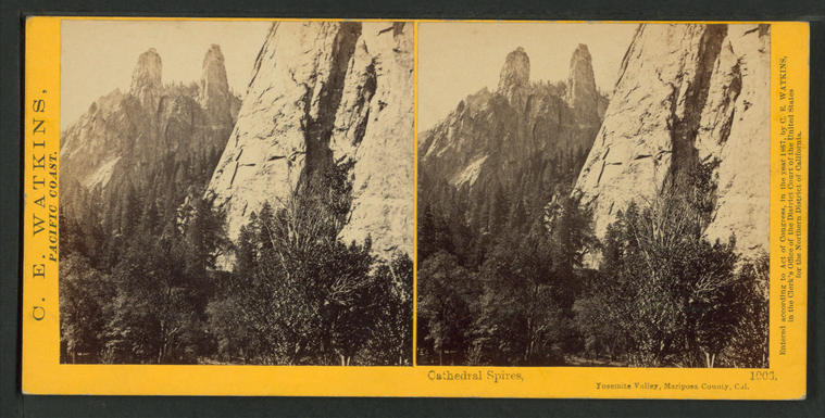
Cathedral Spires, Yosemite Valley, Mariposa County, Cal. |
||
Cathedral Spires, Yosemite Valley, Mariposa County, Cal. |
||
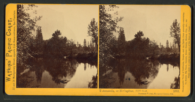
Tutocanula, or El Capitan, 3600 ft. Yosemite Valley, Mariposa County, Cal. |
||
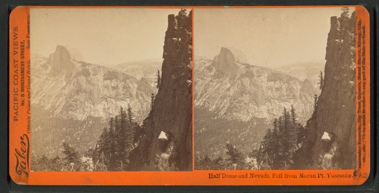
Half Dome and Nevada Fall from Moron Pt. Yosemite.
Publisher: Taber, Isaiah West
Photographer: Watkins, Carleton E. (1829-1916) Subjects: California, Yosemite Valley (Calif.), Yosemite National Park (Calif.), California, Mountains, Waterfalls, Pines, California, National parks and reserves Collection: NYPL Digital Collections: Robert N. Dennis [From The New York Public Library] |
||
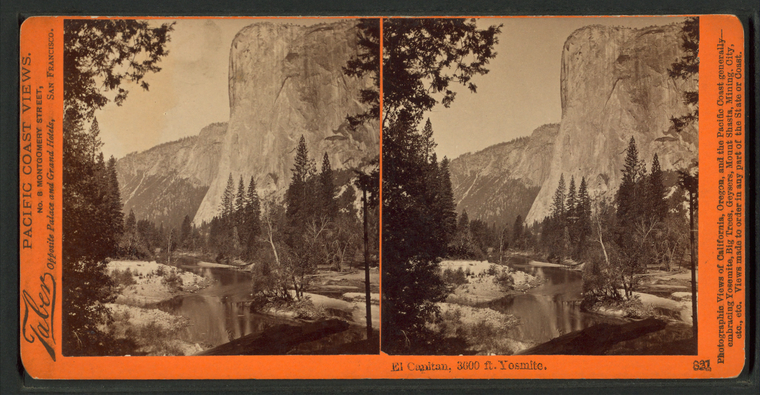
El Capitan, 3600 ft. Yosemite.
Publisher: Taber, Isaiah West
Photographer: Watkins, Carleton E. (1829-1916) Subjects: California, Yosemite Valley (Calif.), Yosemite National Park (Calif.), California, Mountains, El Capitan (Calif.), Trees Collection: NYPL Digital Collections: Robert N. Dennis [From The New York Public Library] |
||
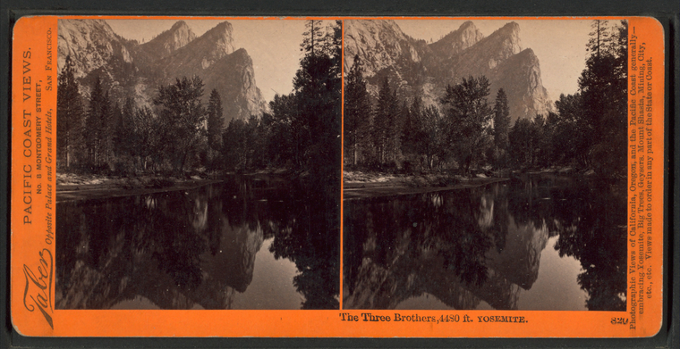
The Three Brothers, 4480 ft. Yosemite.
Publisher: Taber, Isaiah West
Photographer: Watkins, Carleton E. (1829-1916) Subjects: California, Yosemite Valley (Calif.), Yosemite National Park (Calif.), California, Mountains, Trees, Streams, Reflections, California, National parks and reserves Collection: NYPL Digital Collections: Robert N. Dennis [From The New York Public Library] |
||
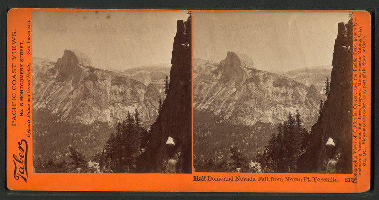
Half Dome and Nevada Fall from Moron Pt. Yosemite.
Publisher: Taber, Isaiah West
Photographer: Watkins, Carleton E. (1829-1916) Subjects: California, Yosemite Valley (Calif.), Yosemite National Park (Calif.), California, Mountains, Trees, Waterfalls, California, National parks and reserves Collection: NYPL Digital Collections: Robert N. Dennis [From The New York Public Library] |
||
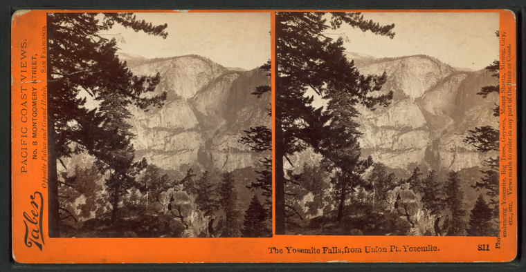
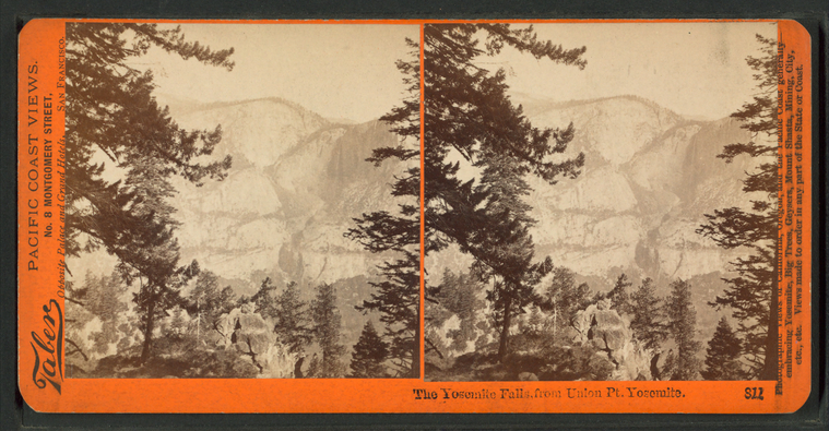
The Yosemite Falls, from Union Pt. Yosemite.
Publisher: Taber, Isaiah West
Photographer: Watkins, Carleton E. (1829-1916) Subjects: California, Yosemite Valley (Calif.), Yosemite National Park (Calif.), California, Rock formations, Waterfalls, Tree limbs, California, National parks and reserves Collection: NYPL Digital Collections: Robert N. Dennis [From The New York Public Library] |
||
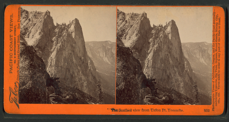
The Sentinel, view from Union Pt. Yosemite. |
||
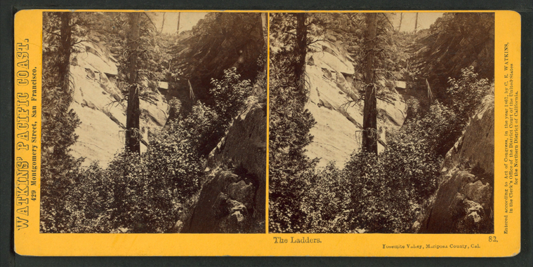
The Ladders, Yosemite Valley, Mariposa County, Cal. |
||
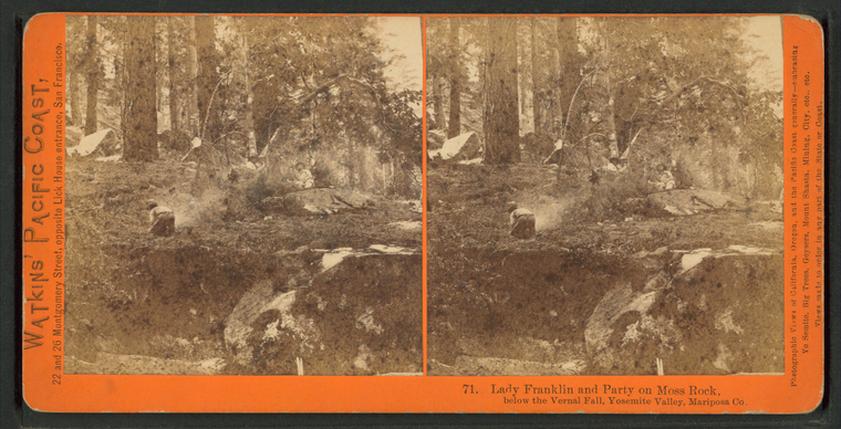
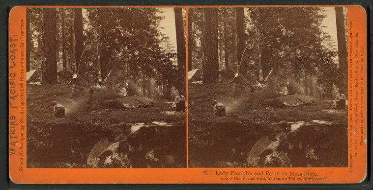
Lady Franklin and Party on Moss Rock, below the Vernal Fall, Yosemite Valley, Mariposa Co. |
||
Lady Franklin and Party on Moss Rock, below the Vernal Fall, Yosemite Valley, Mariposa Co. |
||
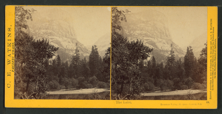
The Lake, Yosemte Valley, Mariposa County, Cal. |
||
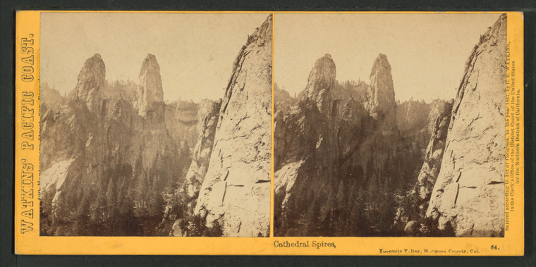
Cathedral Spires, Yosemite Valley, Mariposa County, Cal. |
||
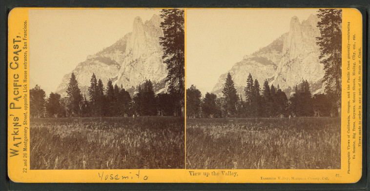
View up the Valley, Yosemite Valley, Mariposa County, Cal. |
||
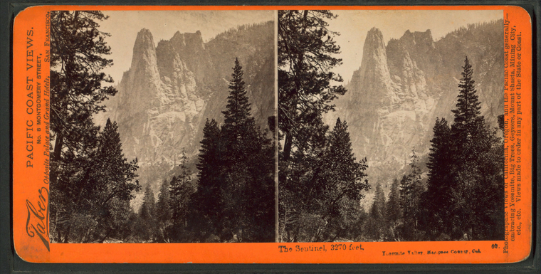
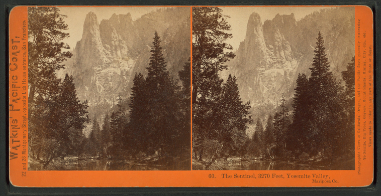
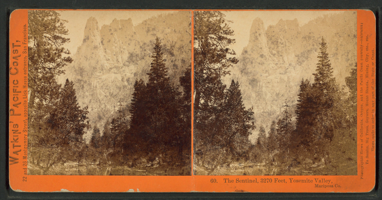
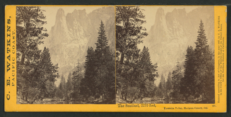
The Sentinel, 3270 feet, Yosemite Valley, Mariposa County, Cal. |
||
The Sentinel, 3270 feet, Yosemite Valley, Mariposa Co. |
||
The Sentinel, 3270 feet, Yosemite Valley, Mariposa Co. |
||
The Sentinel, 3270 feet, Yosemite Valley, Mariposa County, Cal. |
||
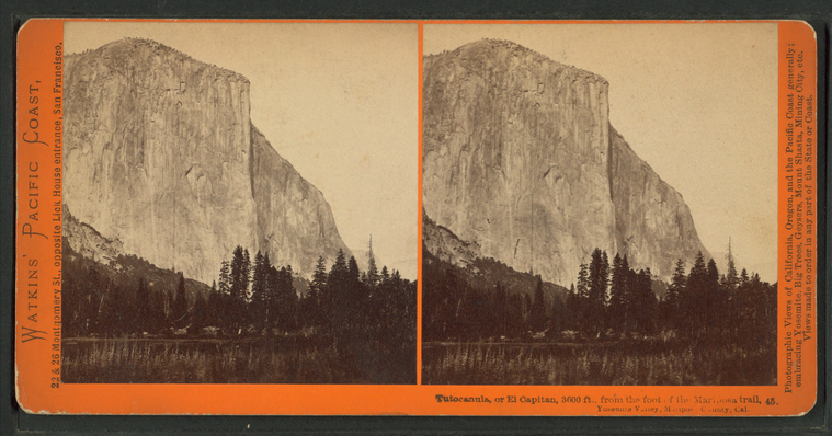
Tutocanula, or El Capitan, 3600 ft., from the foot of Mariposa trail. Yosemite Valley, Mariposa County, Cal. |
||
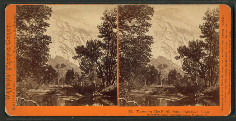
Tacoye, or the North Dome, 3730 feet. View from Hutchings, Yosemite Valley, Mariposa Co. |
||
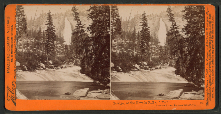
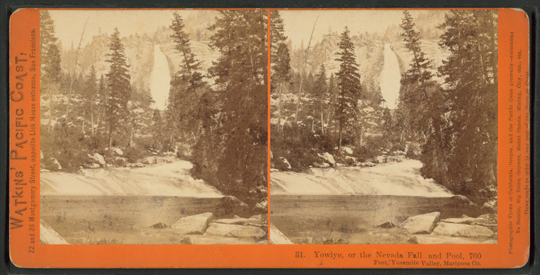
Yowiye, or the Nevada Falls and Pool. Yosemite Valley, Mariposa County, Cal.
Publisher: Taber, Isaiah West
Photographer: Watkins, Carleton E. (1829-1916) Subjects: California, Yosemite Valley (Calif.), Yosemite National Park (Calif.), Trees, Waterfalls, Scenic overlooks, Bodies of water, California, National parks and reserves Collection: NYPL Digital Collections: Robert N. Dennis [From The New York Public Library] |
||
Yowiye, or the Nevada Fall and Pool, 700 feet, Yosmite Valley, Mariposa Co. |
||
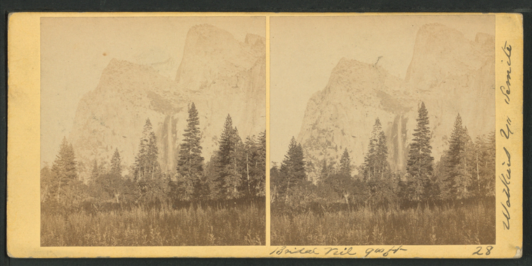
Bridal Veil, 900 ft. |
||
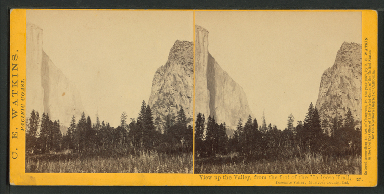
View up the Valley, from the foot of Mariposa Trail. Yosemite Valley, Mariposa County, Cal. |
||
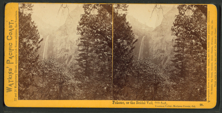
Pohono, or the Bridal Veil, 900 feet. Yosemite Valley, Mariposa County, Cal. |
||
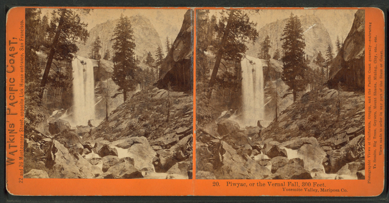
Piwyac, or the Vernal Fall, 300 feet. Yosemite Valley, Mariposa Co. |
||
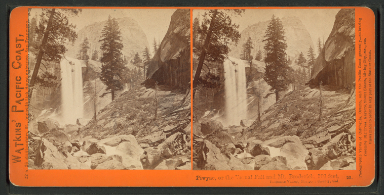
Piwyac, or the Vernal Fall and Mt. Broderick, 300 feet. Yosemite Valley, Mariposa County, Cal. |
||
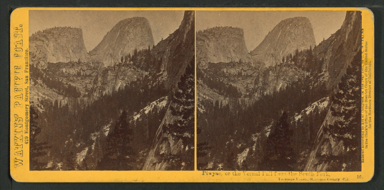
Piwyac, or the Vernal Fall from the South Fork, Yosemite Valley, Mariposa County, Cal. |
