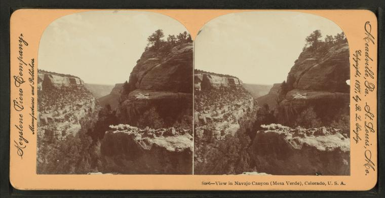
View in Navajo Canyon (Mesa Verde), Colorado, U.S.A.
Publisher: Keystone View Co.
Subjects: Colorado, Colorado, Canyons, Mesa Verde National Park (Colo.) Collection: NYPL Digital Collections: Robert N. Dennis [From The New York Public Library] |
||
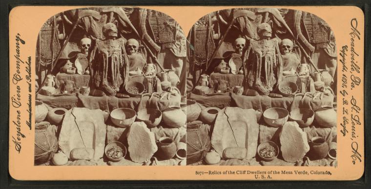
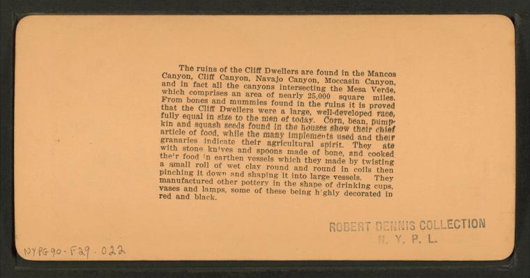
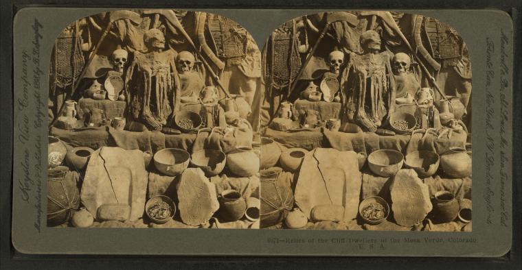
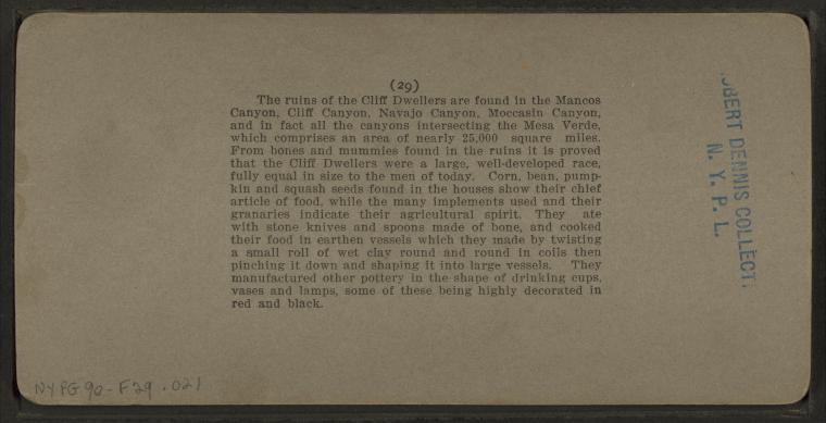
Relics of the cliff dwellers of the Mesa Verde, Colorado, U.S.A.
Publisher: Keystone View Co.
Subjects: Colorado, Mesa Verde National Park (Colo.) Collection: NYPL Digital Collections: Robert N. Dennis [From The New York Public Library] |
||
Relics of the cliff dwellers of the Mesa Verde, Colorado, U.S.A.
Publisher: Keystone View Co.
Subjects: Colorado, Mesa Verde National Park (Colo.) Collection: NYPL Digital Collections: Robert N. Dennis [From The New York Public Library] |
||
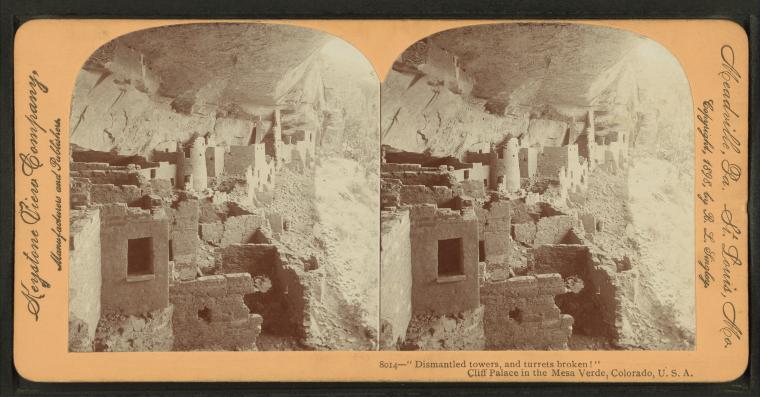
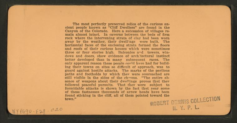
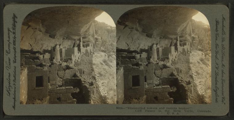
Dismantled towers, and turrets broken!" - Cliff Palace in the Mesa Verde, Colorado, U.S.A. |
||
Dismantled towers, and turrets broken!" - Cliff Palace in the Mesa Verde, Colorado, U.S.A. |
||
Dismantled towers, and turrets broken!" - Cliff Palace in the Mesa Verde, Colorado, U.S.A. |
||
Dismantled towers, and turrets broken!" - Cliff Palace in the Mesa Verde, Colorado, U.S.A. |
||
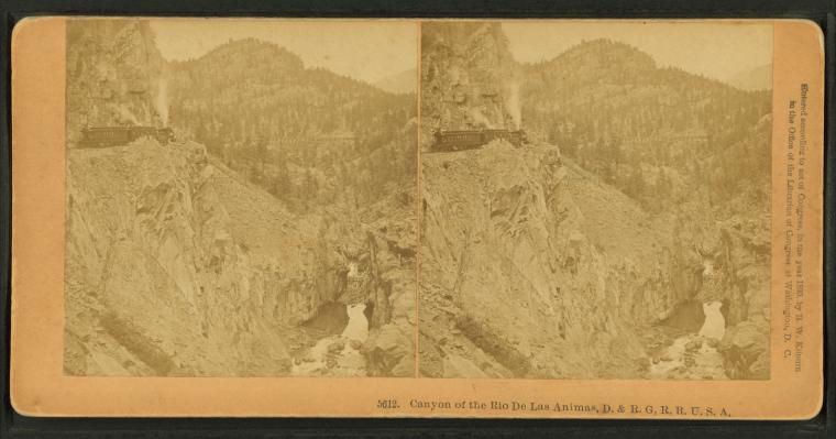
Canyon of the Rio de Las Animas, D. & R. G. R. R., U.S.A.
Subjects: Colorado, Colorado, Canyons
Collection: NYPL Digital Collections: Robert N. Dennis [From The New York Public Library] |
||
Miners loading supplies, Silverton, Col., U.S.A. |
||
Queen of the canyons" - Animas Canyon, Colorado, U.S.A.
Publisher: Keystone View Co.
Collection: NYPL Digital Collections: Robert N. Dennis [From The New York Public Library] |
||
Rio de Las Animas Canyon, Colorado, U.S.A.
Publisher: Keystone View Co.
Collection: NYPL Digital Collections: Robert N. Dennis [From The New York Public Library] |
||
Silverton from the cascade. |
||
Silverton Baker's Park. |
||
Needle Mountain. Animas Canon [Canyon]. |
||
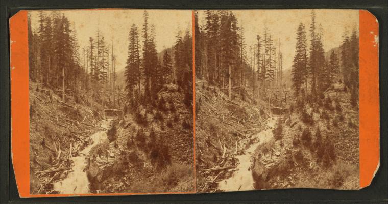
Elk Park cascade. Animas Canon [Canyon]. |
||
Deer Park cascade. Animas Canon [Canyon]. |
||
Durango and mountains, Colorado. |
||
In Animas Cañon [Canyon]. |
||
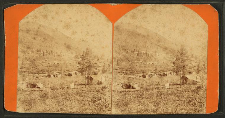
View of log houses in Rico, Dolores Co. |
||
View of Dolores Valley, showing Smelter [?]. |
||
Horse Gulch, 2 miles above Rico. |
||
Colorado Assay Office. |
||
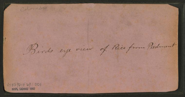
Bird's-eye view of Rico from Piedmont. |
||
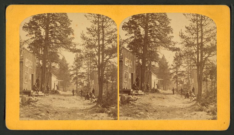
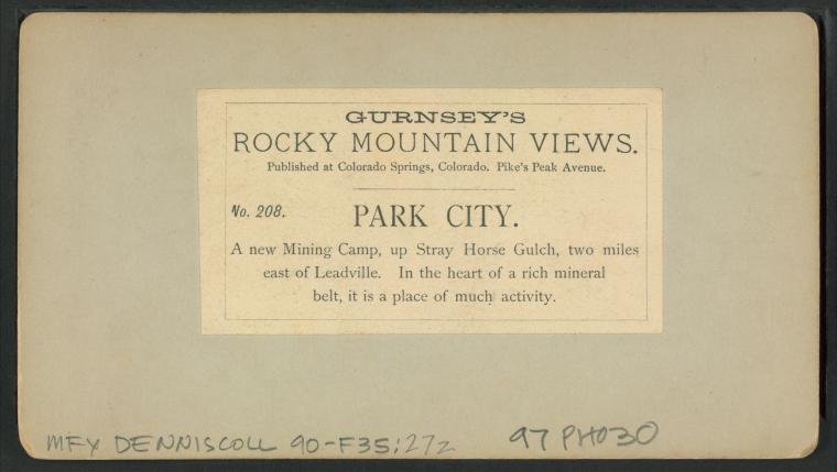
Park City. A new mining camp, up Stray Horse Gulch, two miles east of Leadville. |
||
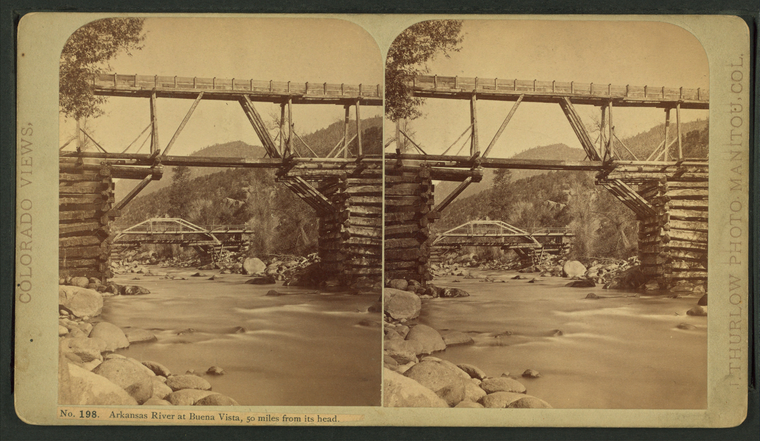
Arkansas River at Buena Vista, 50 miles from its head. |
||
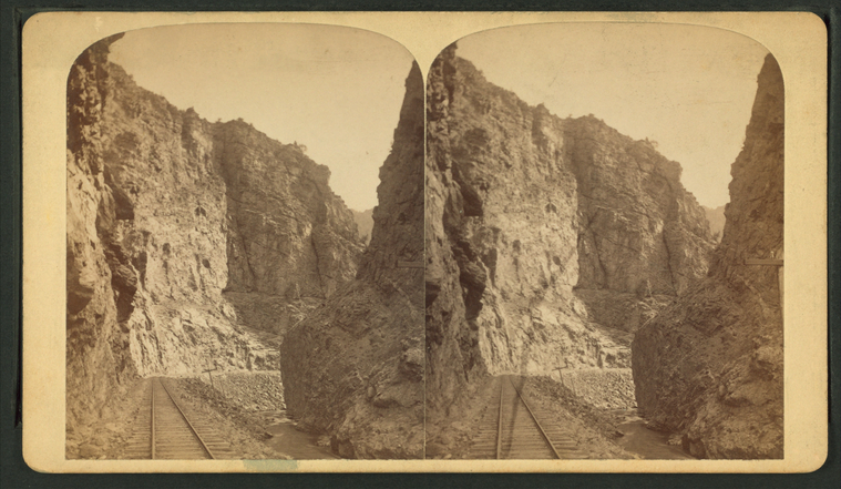
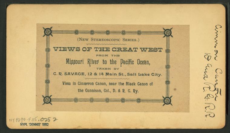
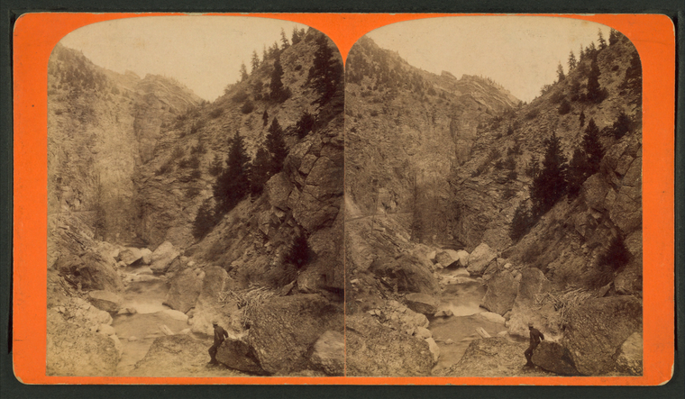
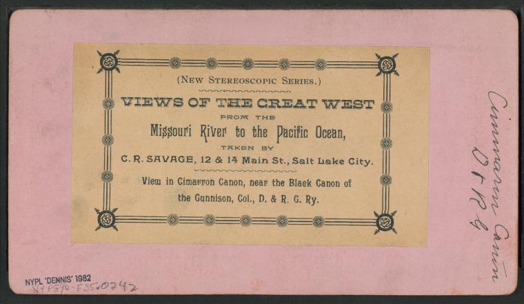
View in Cimarron Canon, near the Black Canon of the Gunnison, Col. D. & R. G. Ry. |
||
View in Cimarron Canon, near the Black Canon of the Gunnison, Col. D. & R. G. Ry. |
||
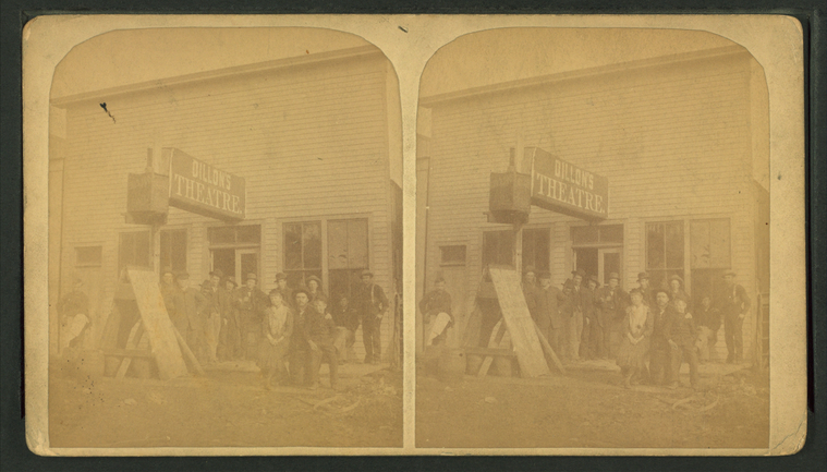
Dillon's mob. |
||
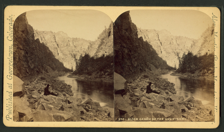
Black Cañon of the Gunnison. |
||
Rapids in the Black Canon [Canyon]. |




![Needle Mountain. Animas Canon [Canyon]. Stereoview Card](http://images.nypl.org/index.php?id=G90F029_010F&t=w&download=1&suffix=510d47e1-649c-a3d9-e040-e00a18064a99.001)
![Needle Mountain. Animas Canon [Canyon]. Stereoview Card](http://images.nypl.org/index.php?id=G90F029_010B&t=w&download=1&suffix=510d47e1-649b-a3d9-e040-e00a18064a99.001)
![Elk Park cascade. Animas Canon [Canyon]. Stereoview Card](http://images.nypl.org/index.php?id=G90F029_009F&t=w&download=1&suffix=510d47e1-649a-a3d9-e040-e00a18064a99.001)
![Elk Park cascade. Animas Canon [Canyon]. Stereoview Card](http://images.nypl.org/index.php?id=G90F029_009B&t=w&download=1&suffix=510d47e1-6499-a3d9-e040-e00a18064a99.001)
![Deer Park cascade. Animas Canon [Canyon]. Stereoview Card](http://images.nypl.org/index.php?id=G90F029_008F&t=w&download=1&suffix=510d47e1-6498-a3d9-e040-e00a18064a99.001)
![Deer Park cascade. Animas Canon [Canyon]. Stereoview Card](http://images.nypl.org/index.php?id=G90F029_008B&t=w&download=1&suffix=510d47e1-6497-a3d9-e040-e00a18064a99.001)


![In Animas Cañon [Canyon]. Stereoview Card](http://images.nypl.org/index.php?id=G90F029_006F&t=w&download=1&suffix=510d47e1-6494-a3d9-e040-e00a18064a99.001)
![In Animas Cañon [Canyon]. Stereoview Card](http://images.nypl.org/index.php?id=G90F029_006B&t=w&download=1&suffix=510d47e1-6493-a3d9-e040-e00a18064a99.001)


![View of Dolores Valley, showing Smelter [?]. Stereoview Card](http://images.nypl.org/index.php?id=G90F029_004F&t=w&download=1&suffix=510d47e1-6490-a3d9-e040-e00a18064a99.001)
![View of Dolores Valley, showing Smelter [?]. Stereoview Card](http://images.nypl.org/index.php?id=G90F029_004B&t=w&download=1&suffix=510d47e1-648f-a3d9-e040-e00a18064a99.001)



![Rapids in the Black Canon [Canyon]. Stereoview Card](http://images.nypl.org/index.php?id=G90F035_021ZF&t=w&download=1&suffix=510d47e1-6600-a3d9-e040-e00a18064a99.001)
![Rapids in the Black Canon [Canyon]. Stereoview Card](http://images.nypl.org/index.php?id=G90F035_021ZB&t=w&download=1&suffix=510d47e1-65ff-a3d9-e040-e00a18064a99.001)