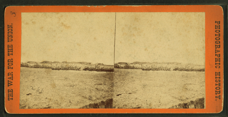
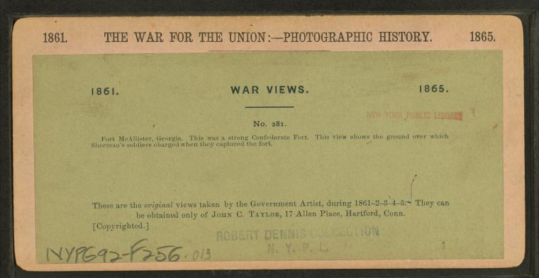
Fort McAllister, Georgia. |
||
Swamp Angel, Morris Island, S.C. This rifled gun throws shell into Charleston night and day.
Publisher: Taylor & Huntington
Subjects: United States, History, Batteries (Weaponry), Soldiers, American, cannons Collection: NYPL Digital Collections: Robert N. Dennis [From The New York Public Library] |
||
A 300 pounder (parrot gun [Parrott rifle]) on Morris Island, S.C., firing on Fort Sumter.
Publisher: Taylor & Huntington
Subjects: United States, History, Soldiers, cannons, Morris Island (S.C.) Collection: NYPL Digital Collections: Robert N. Dennis [From The New York Public Library] |
||
Fort Gregg, Morris Island, S.C. [Mortar battery ready to load.]
Publisher: Taylor & Huntington
Subjects: United States, History, Soldiers, Mortars (Ordnance), Morris Island (S.C.) Collection: NYPL Digital Collections: Robert N. Dennis [From The New York Public Library] |
||
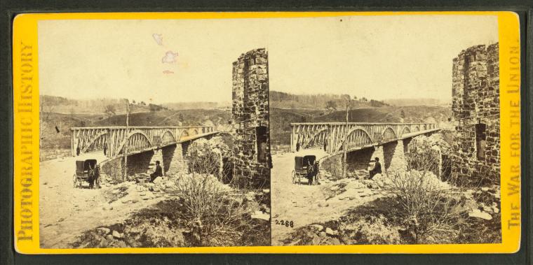
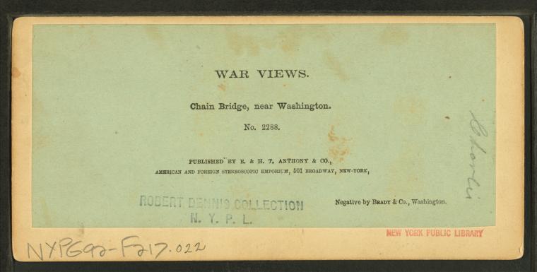
Chain bridge, near Washington.
Publisher: E. & H.T. Anthony & Co.
Photographer: Brady & Co. (Washington, D.C.) No.: 2288 Subjects: United States, History, Soldiers, Slave trade, Alexandria (Va.) Collection: NYPL Digital Collections: Robert N. Dennis [From The New York Public Library] |
||
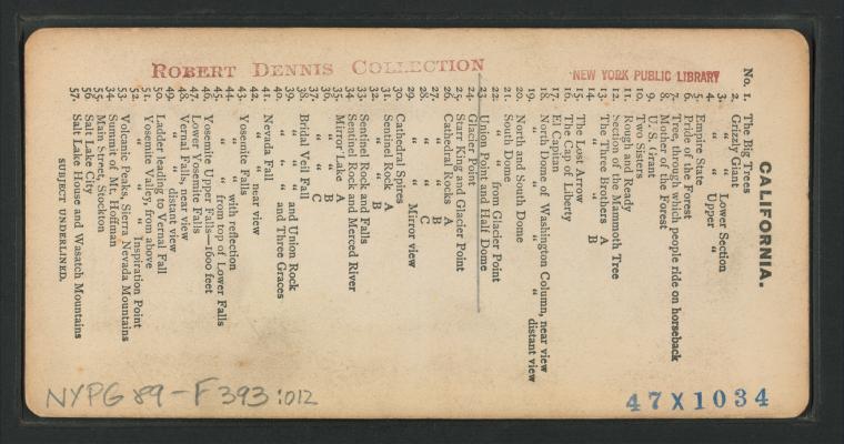
Yosemite Valley, from Inspiration Point. |
||
Ladder leading to Vernal Fall. |
||
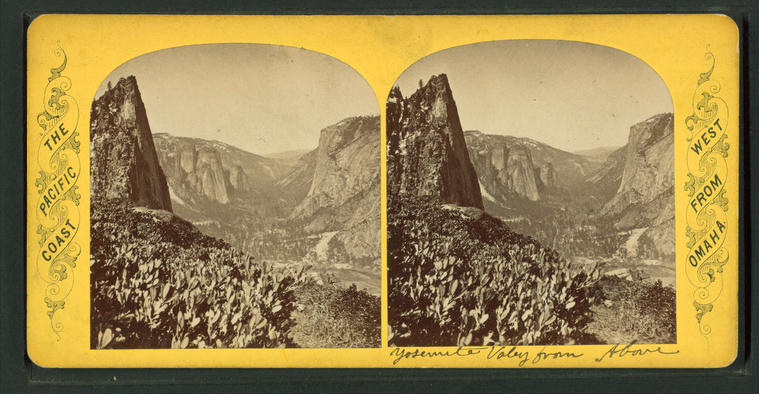
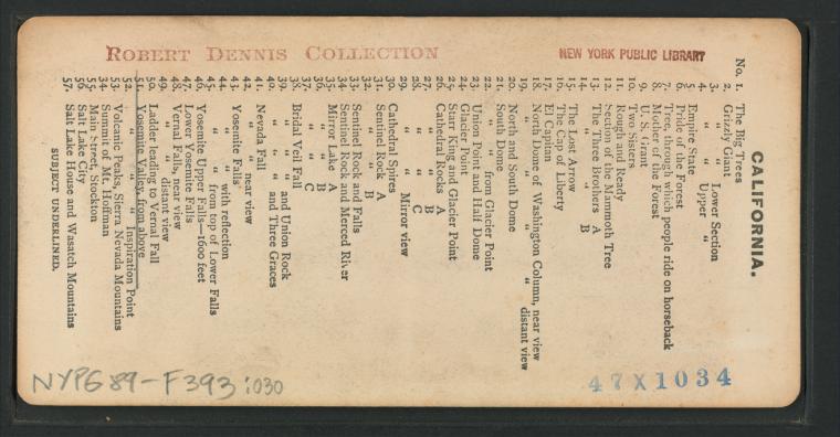
Yosemite Valley, from above. |
||
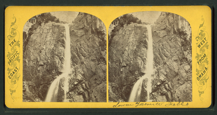
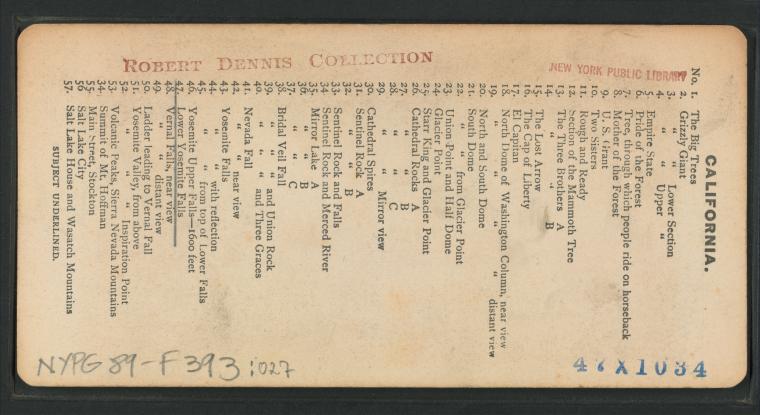
Lower Yosemite Falls. |
||
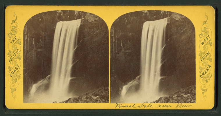
Vernal Falls, near view. |
||
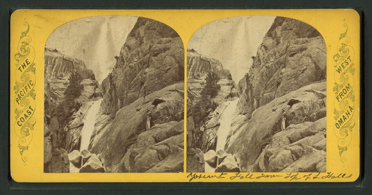
Yosemite Falls from top of Lower Falls. |
||
Yosemite Upper Falls, 1,600 feet. |
||
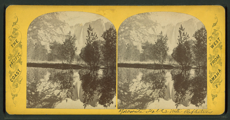
Yosemite Falls with reflection. |
||
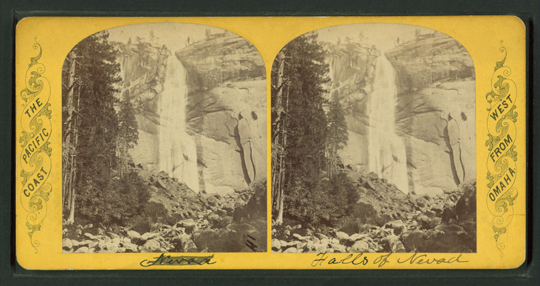
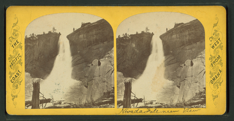
Nevada Fall. |
||
Nevada Fall near view. |
||
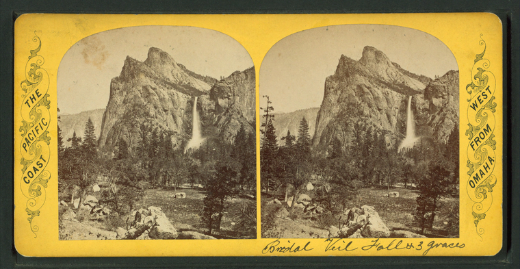
Bridal Veil Fall and Three Graces. |
||
Bridal Veil Fall and Union Rock. |
||
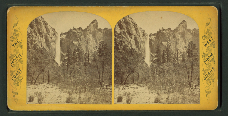
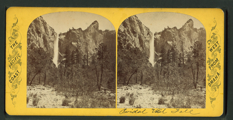
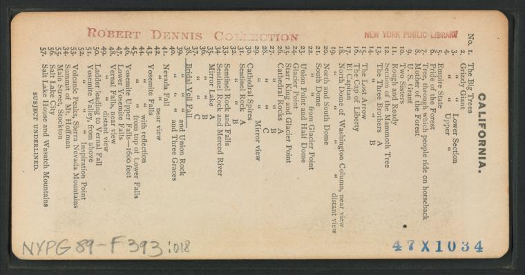
Bridal Veil Fall. |
||
Bridal Veil Fall. |
||
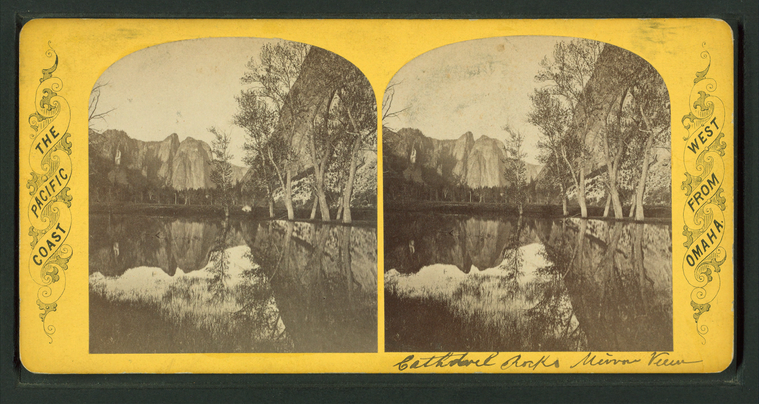
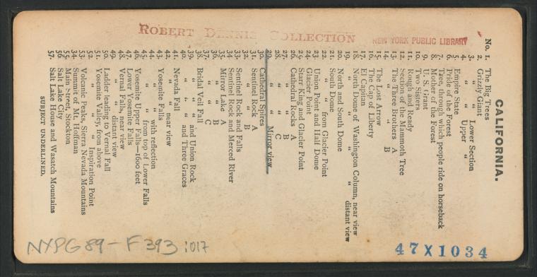
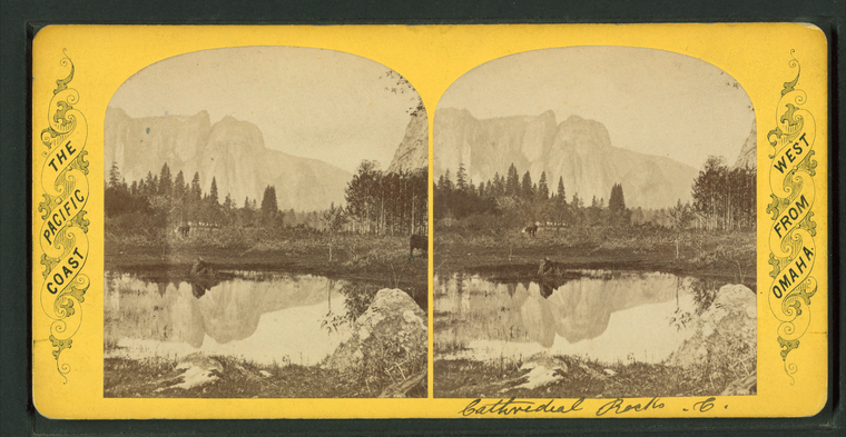
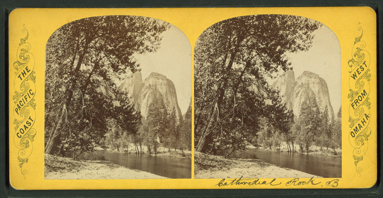
Cathedral Rocks mirror view. |
||
Cathedral Rocks C. |
||
Cathedral Rocks B. |
||
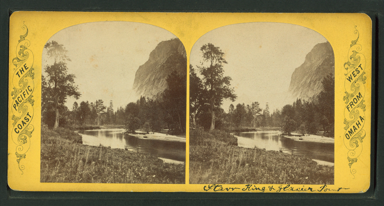
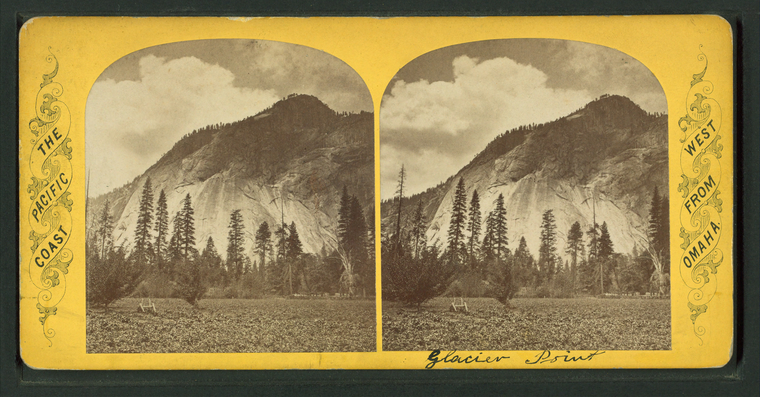
Starr King and Glacier Point. |
||
Glacier Point. |
||
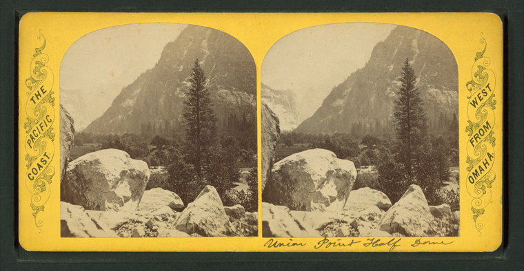
Union Point and Half Dome. |
||
South dome [of Washington Columns] from Glacier Point. |
||
South dome [Washington Columns]. |
||
South dome [Washington Columns]. |
||
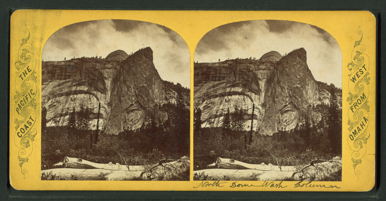
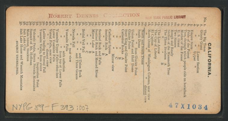
North and south dome [Washington Columns]. |
||
North dome of Washington Columns, distant view. |


![A 300 pounder (parrot gun [Parrott rifle]) on Morris Island, S.C., firing on Fort Sumter. Stereoview Card](http://images.nypl.org/index.php?id=G92F256_010F&t=w&download=1&suffix=510d47e0-c8f5-a3d9-e040-e00a18064a99.001)
![A 300 pounder (parrot gun [Parrott rifle]) on Morris Island, S.C., firing on Fort Sumter. Stereoview Card](http://images.nypl.org/index.php?id=G92F256_010B&t=w&download=1&suffix=510d47e0-c8f4-a3d9-e040-e00a18064a99.001)
![Fort Gregg, Morris Island, S.C. [Mortar battery ready to load.] Stereoview Card](http://images.nypl.org/index.php?id=G92F256_006F&t=w&download=1&suffix=510d47e0-c8ed-a3d9-e040-e00a18064a99.001)
![Fort Gregg, Morris Island, S.C. [Mortar battery ready to load.] Stereoview Card](http://images.nypl.org/index.php?id=G92F256_006B&t=w&download=1&suffix=510d47e0-c8ec-a3d9-e040-e00a18064a99.001)




![South dome [of Washington Columns] from Glacier Point. Stereoview Card](http://images.nypl.org/index.php?id=G89F393_011F&t=w&download=1&suffix=510d47e0-3f21-a3d9-e040-e00a18064a99.001)
![South dome [of Washington Columns] from Glacier Point. Stereoview Card](http://images.nypl.org/index.php?id=G89F393_011B&t=w&download=1&suffix=510d47e0-3f20-a3d9-e040-e00a18064a99.001)
![South dome [Washington Columns]. Stereoview Card](http://images.nypl.org/index.php?id=G89F393_010F&t=w&download=1&suffix=510d47e0-3f1f-a3d9-e040-e00a18064a99.001)
![South dome [Washington Columns]. Stereoview Card](http://images.nypl.org/index.php?id=G89F393_010B&t=w&download=1&suffix=510d47e0-3f1e-a3d9-e040-e00a18064a99.001)
![South dome [Washington Columns]. Stereoview Card](http://images.nypl.org/index.php?id=G89F393_009F&t=w&download=1&suffix=510d47e0-3f1d-a3d9-e040-e00a18064a99.001)
![South dome [Washington Columns]. Stereoview Card](http://images.nypl.org/index.php?id=G89F393_009B&t=w&download=1&suffix=510d47e0-3f1c-a3d9-e040-e00a18064a99.001)
![North and south dome [Washington Columns]. Stereoview Card](http://images.nypl.org/index.php?id=G89F393_008F&t=w&download=1&suffix=510d47e0-3f1b-a3d9-e040-e00a18064a99.001)
![North and south dome [Washington Columns]. Stereoview Card](http://images.nypl.org/index.php?id=G89F393_008B&t=w&download=1&suffix=510d47e0-3f1a-a3d9-e040-e00a18064a99.001)
