Mirror view, Lake Angeline, Cal. [no. 468].
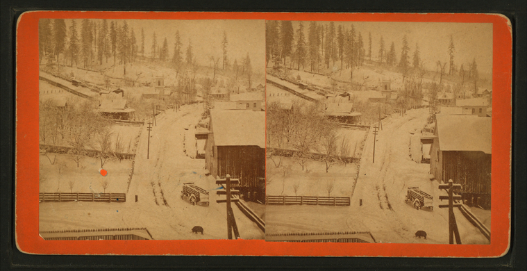
Winter at Dutch Flat.
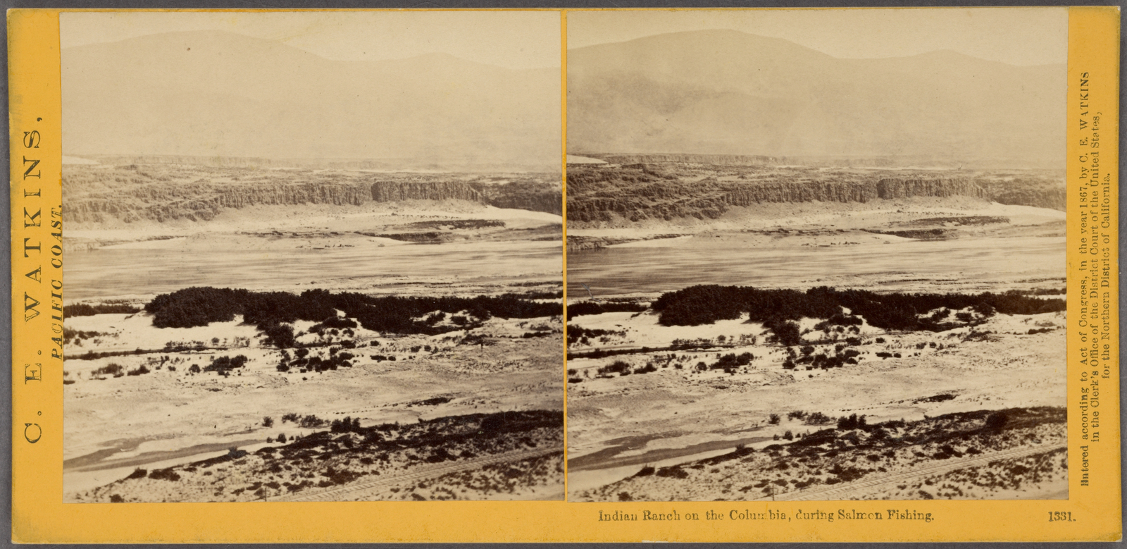
Indian ranch on the Columbia, during salmon fishing.
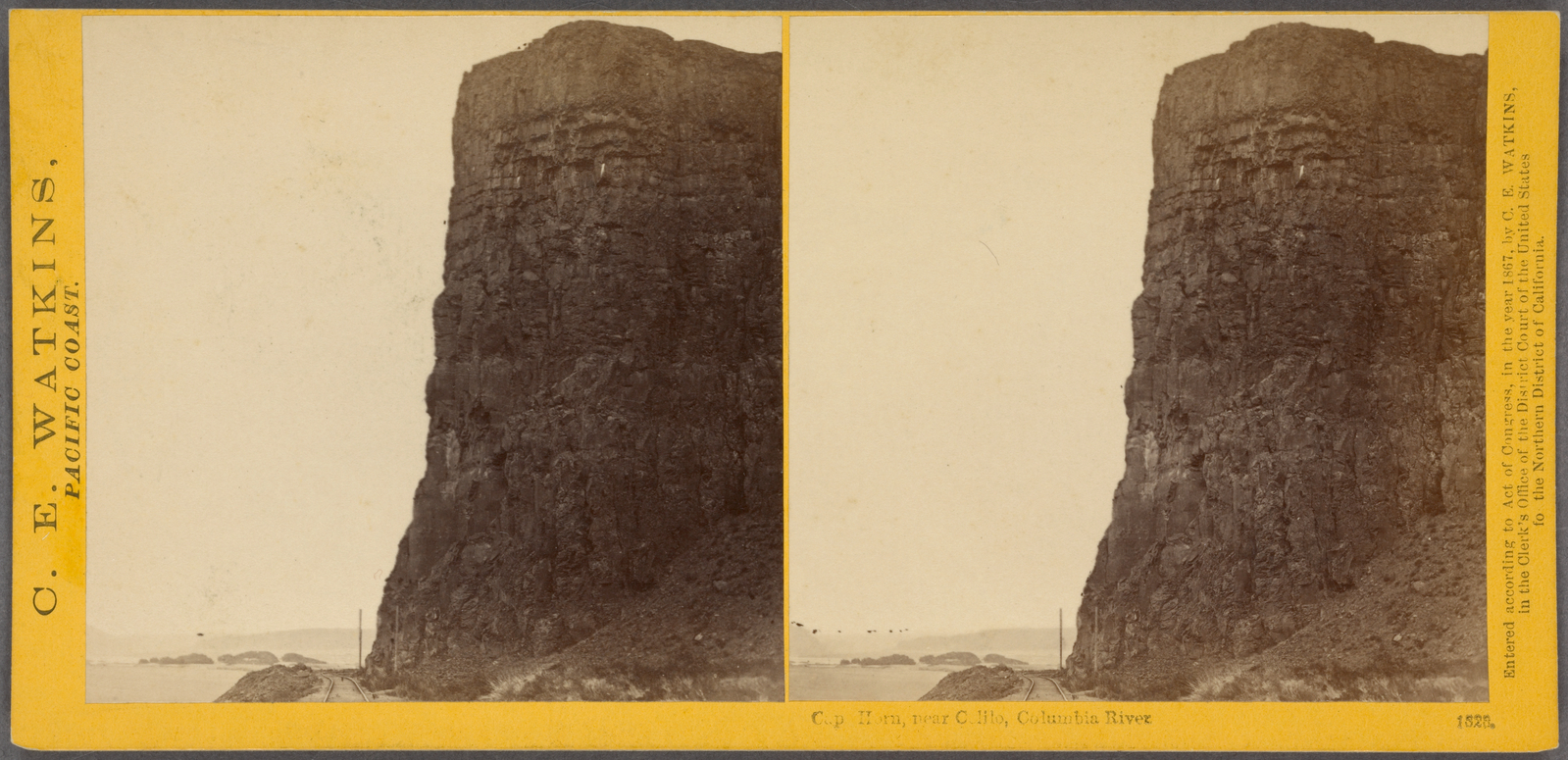
Cape Horn, near Celilo, Columbia River.
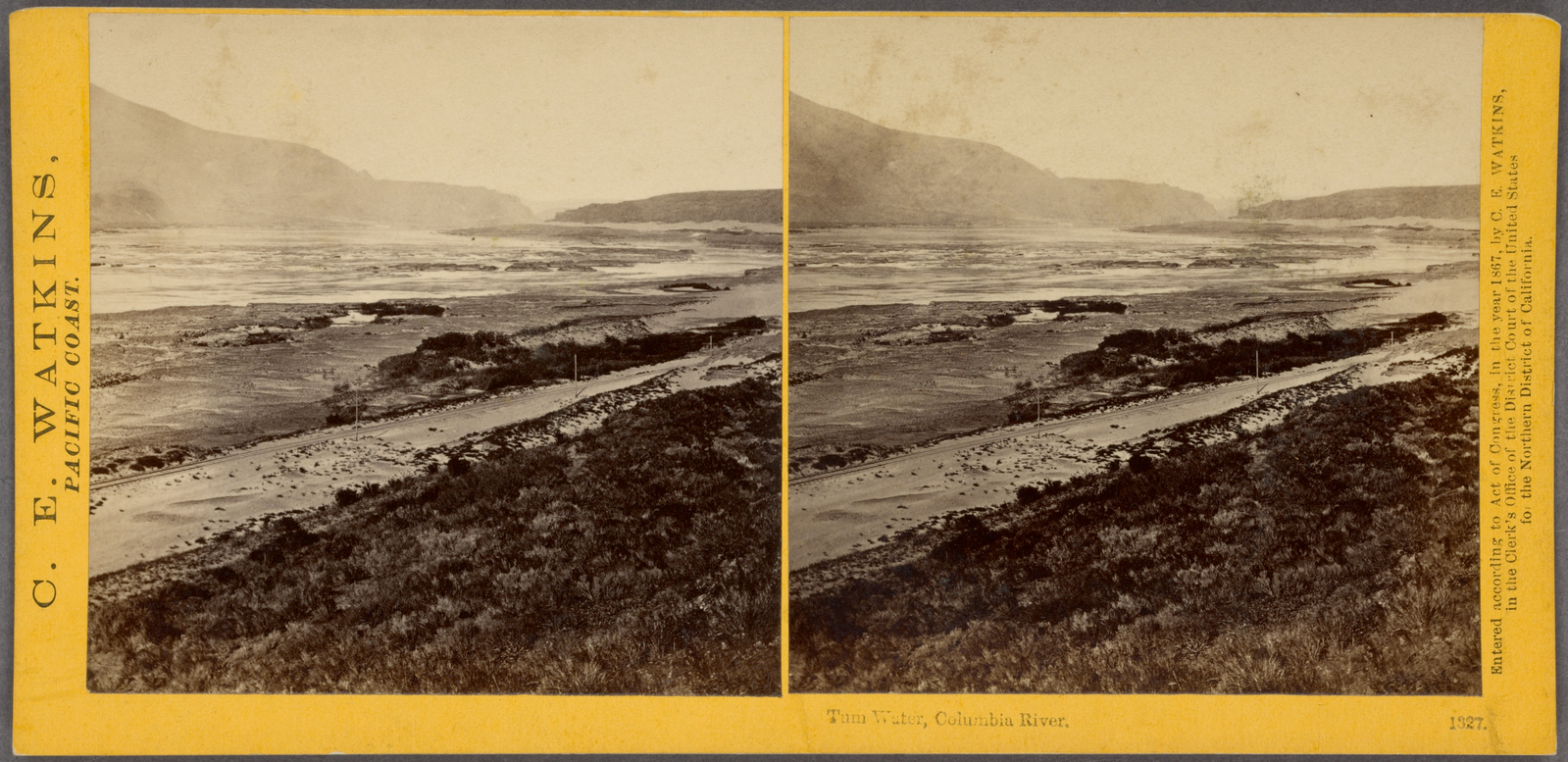
Tum water, Columbia River.
Subjects: California, Rapids, Columbia River
Collection: NYPL Digital Collections: Robert N. Dennis [From The New York Public Library]
Collection: NYPL Digital Collections: Robert N. Dennis [From The New York Public Library]
Cape Horn, near Celilo, Columbia River.
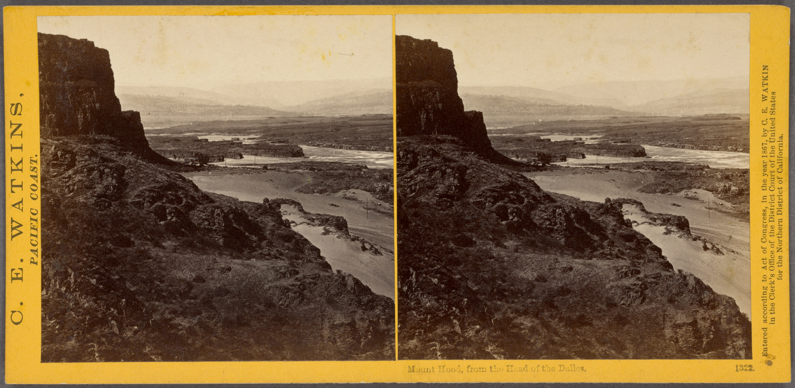
Mount Hood from the head of the Dalles.
Subjects: California, Columbia River, Cliffs, Hood, Mount (Or.)
Collection: NYPL Digital Collections: Robert N. Dennis [From The New York Public Library]
Collection: NYPL Digital Collections: Robert N. Dennis [From The New York Public Library]
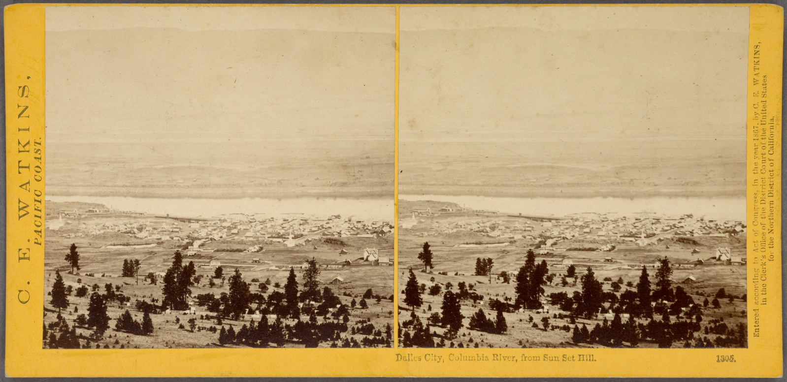
Dalles City, Columbia River, from Sun Set Hill.
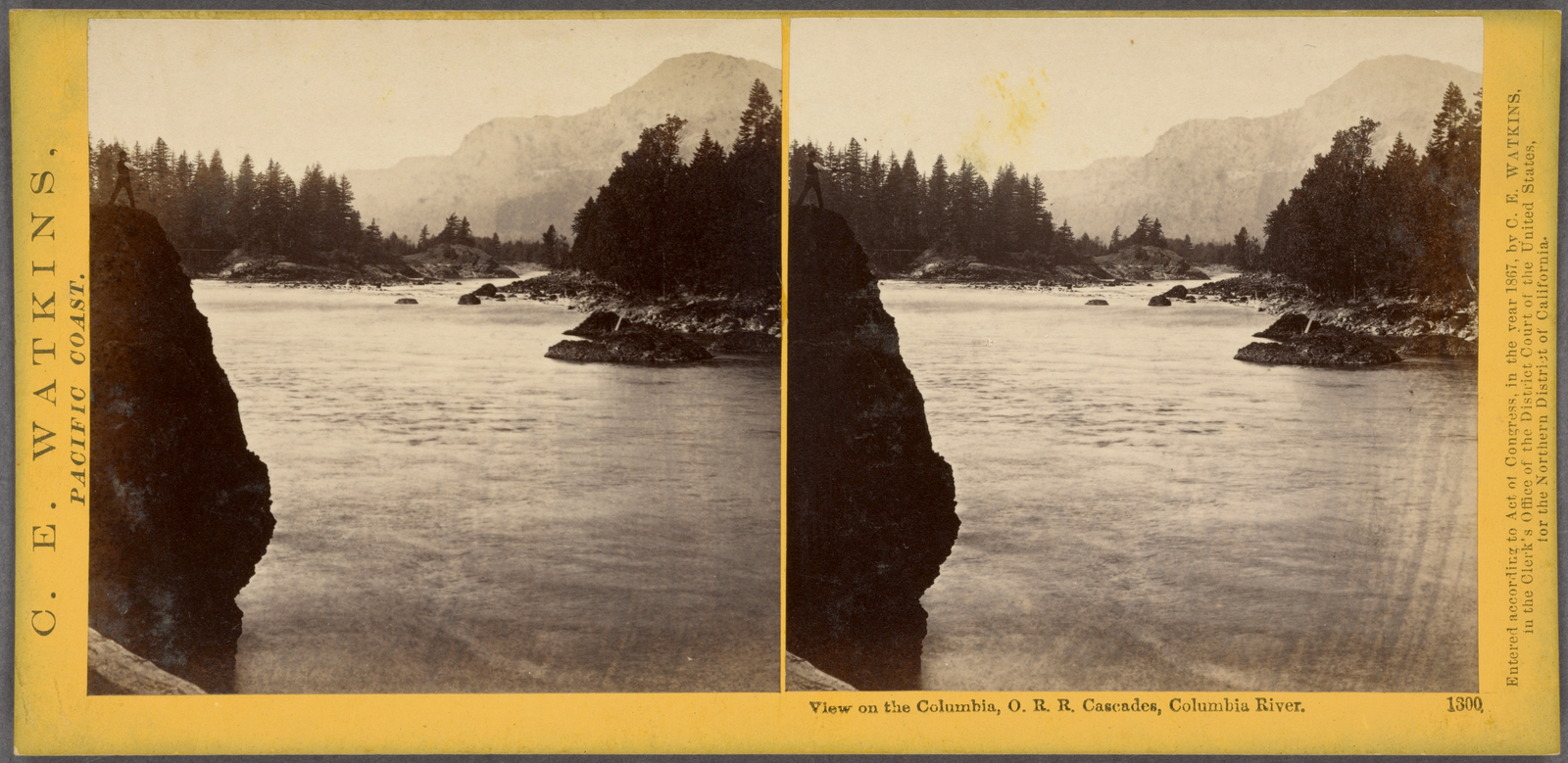
View on the Columbia, O.R.R. Cascades, Columbia River.
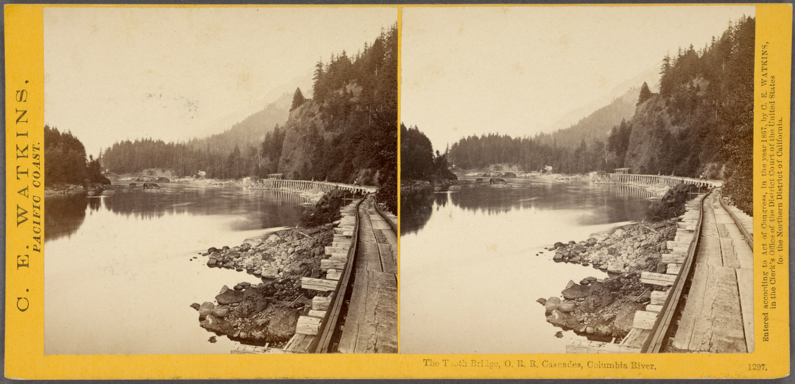
The Tooth Bridge, O.R.R. Cascades, Columbia River.
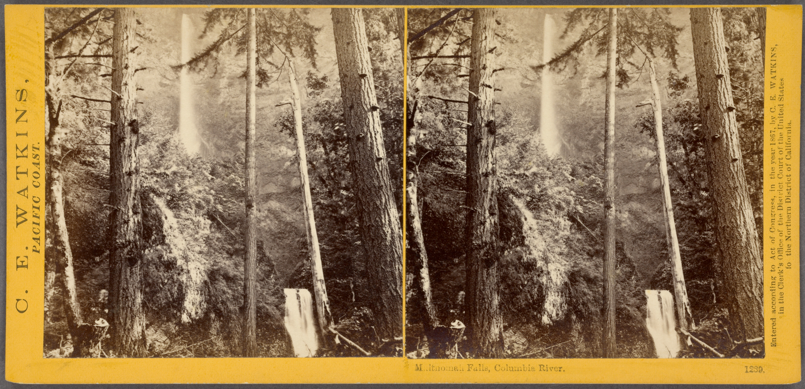
Multnomah Falls, Columbia River.
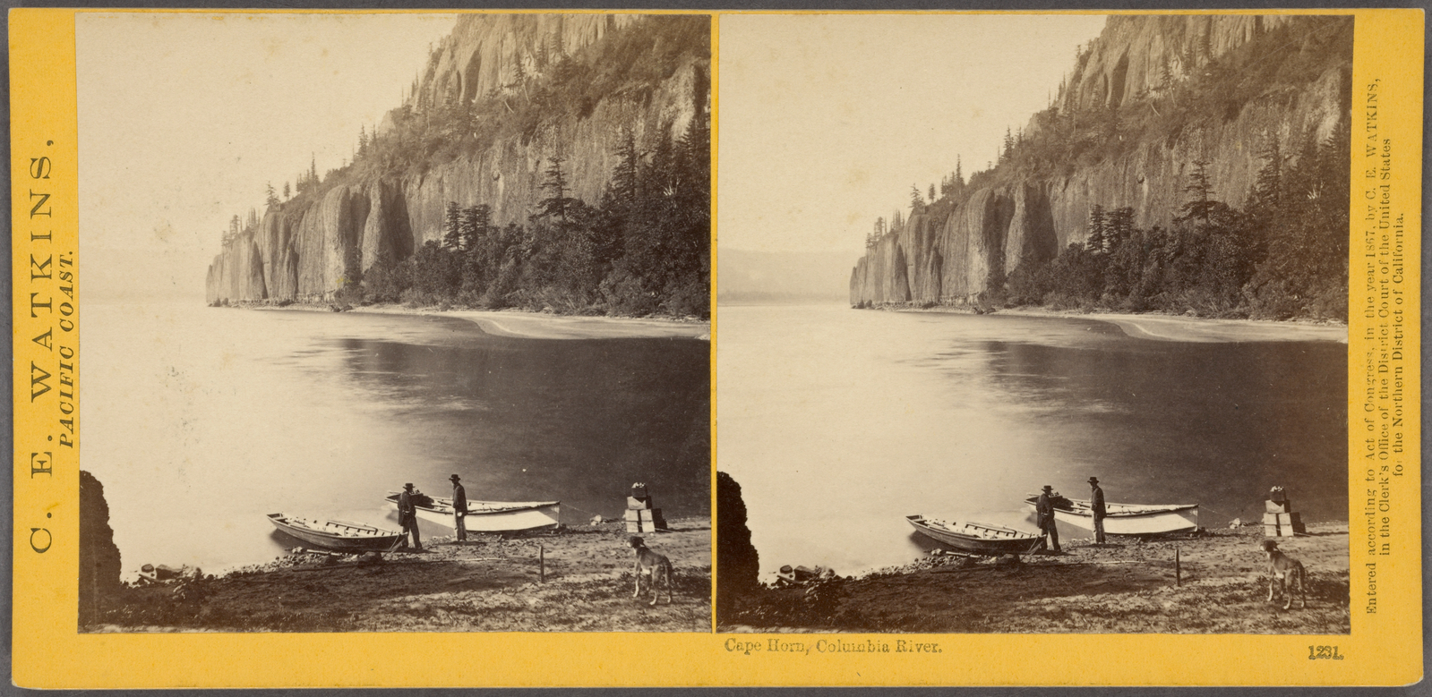
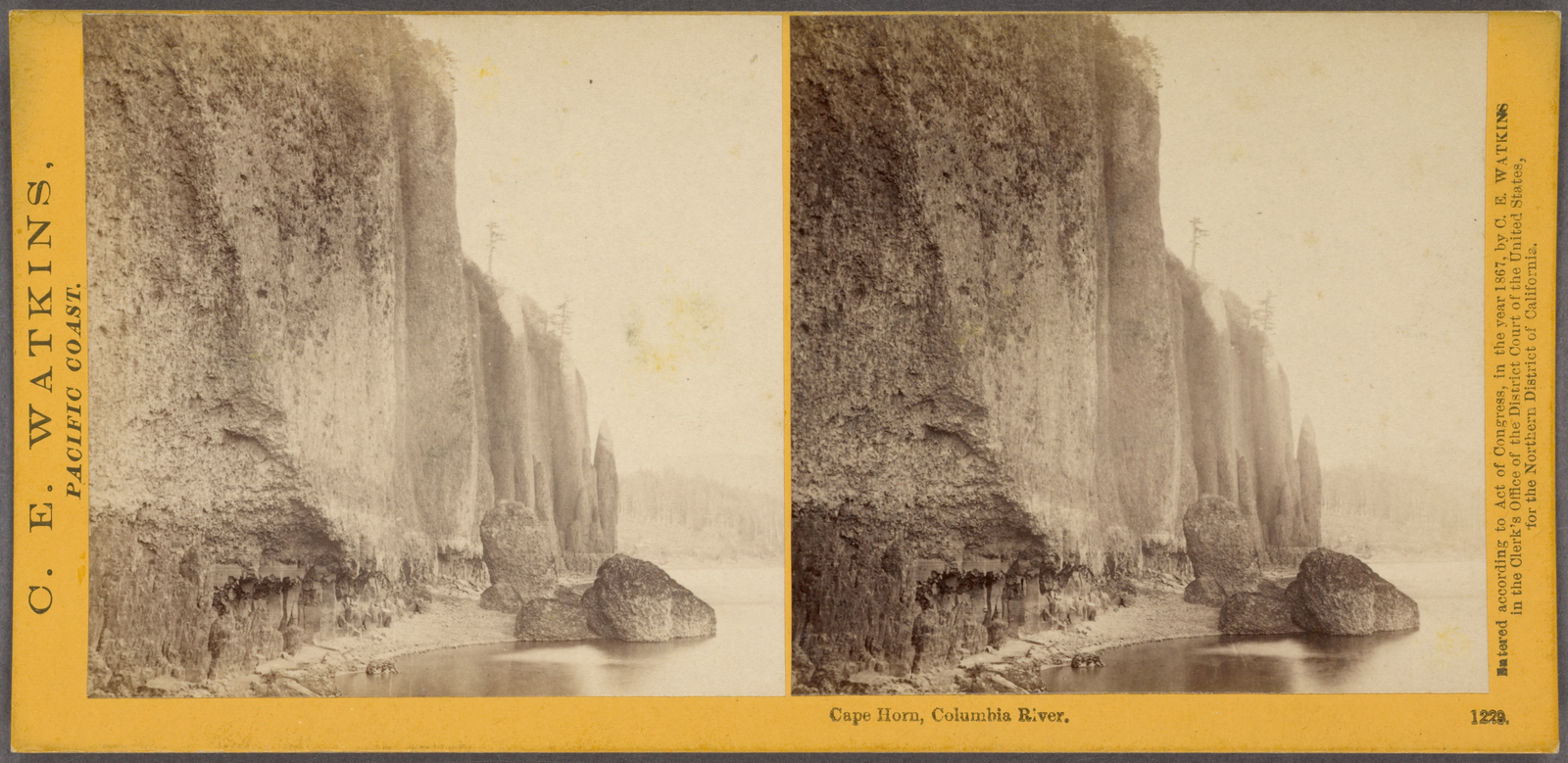
Cape Horn, Columbia River.
Cape Horn, Columbia River.
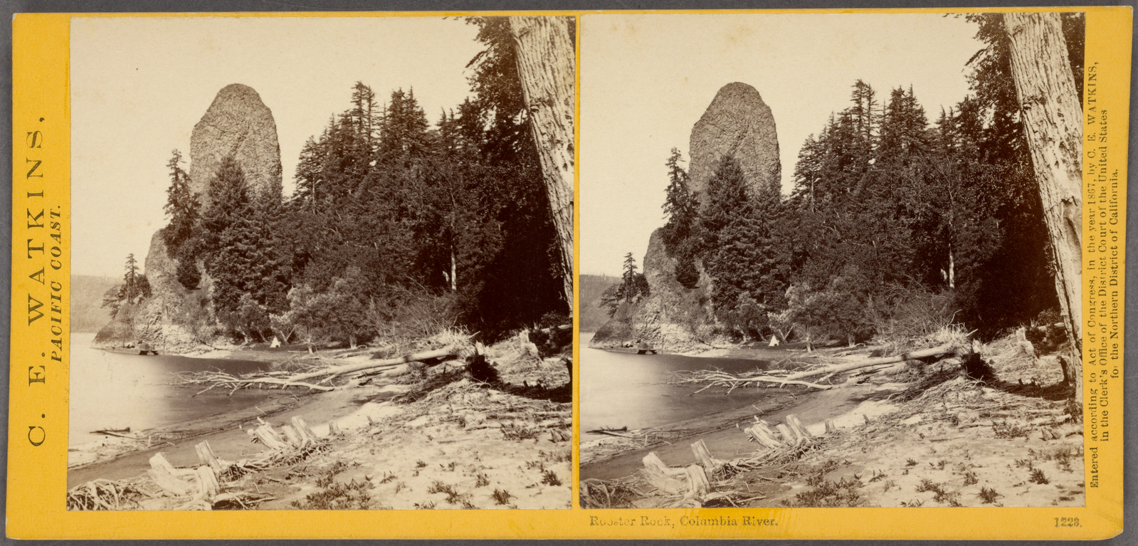
Rooster Rock, Columbia River.
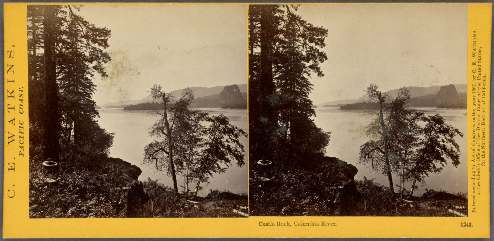
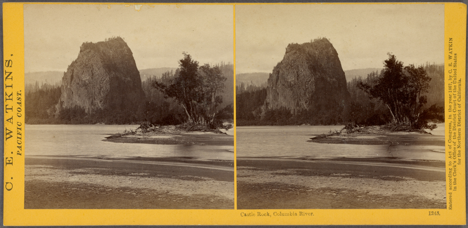
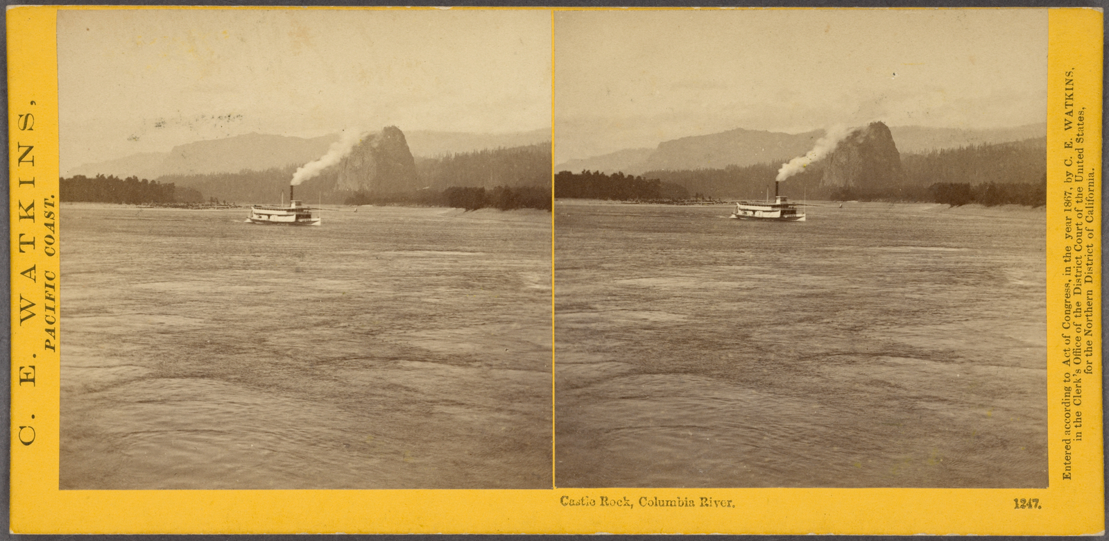
Castle Rock, Columbia River.
Castle Rock, Columbia River.
Castle Rock, Columbia River.
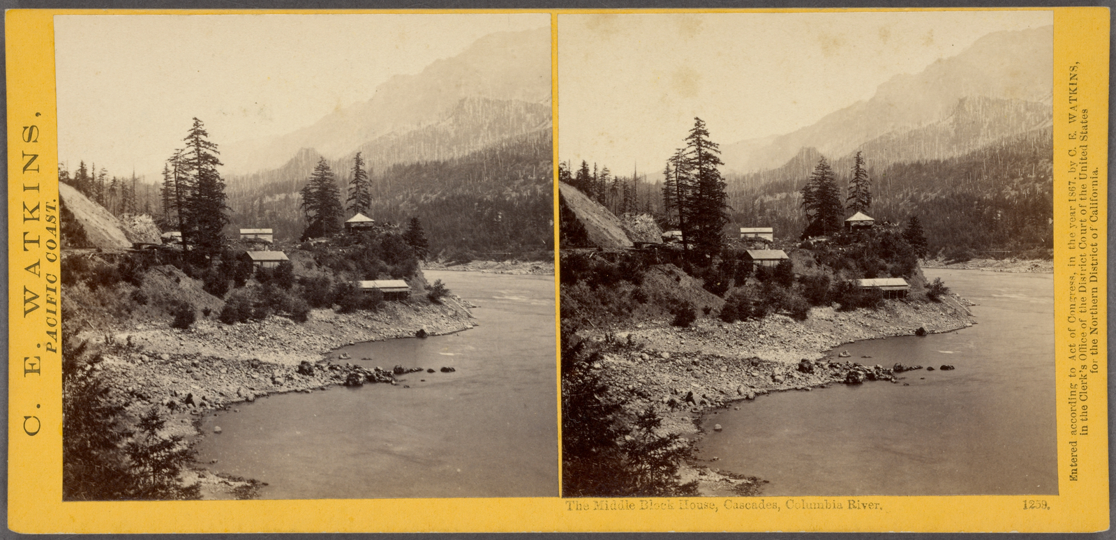
The middle Block House, Cascades, Columbia River.
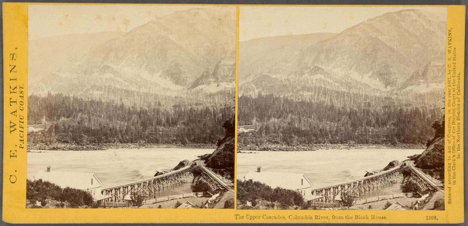
The Upper Cascades, Columbia River, from the Block House.
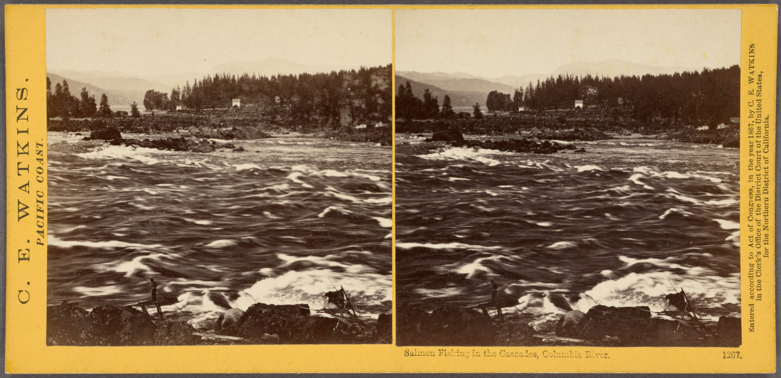
Salmon fishing in the Cascades, Columbia River.
Subjects: California, Rapids, Columbia River
Collection: NYPL Digital Collections: Robert N. Dennis [From The New York Public Library]
Collection: NYPL Digital Collections: Robert N. Dennis [From The New York Public Library]
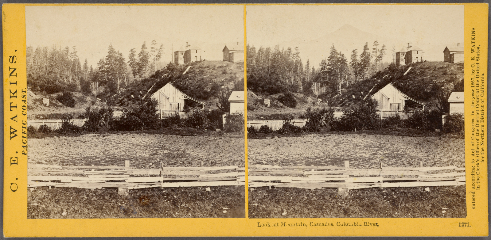
Lookout Mountain, Cascades, Columbia River.
Subjects: California, Farms
Collection: NYPL Digital Collections: Robert N. Dennis [From The New York Public Library]
Collection: NYPL Digital Collections: Robert N. Dennis [From The New York Public Library]
Islands in the Columbia, from the Upper Cascades.
Subjects: California, Columbia River, Islands
Collection: NYPL Digital Collections: Robert N. Dennis [From The New York Public Library]
Collection: NYPL Digital Collections: Robert N. Dennis [From The New York Public Library]
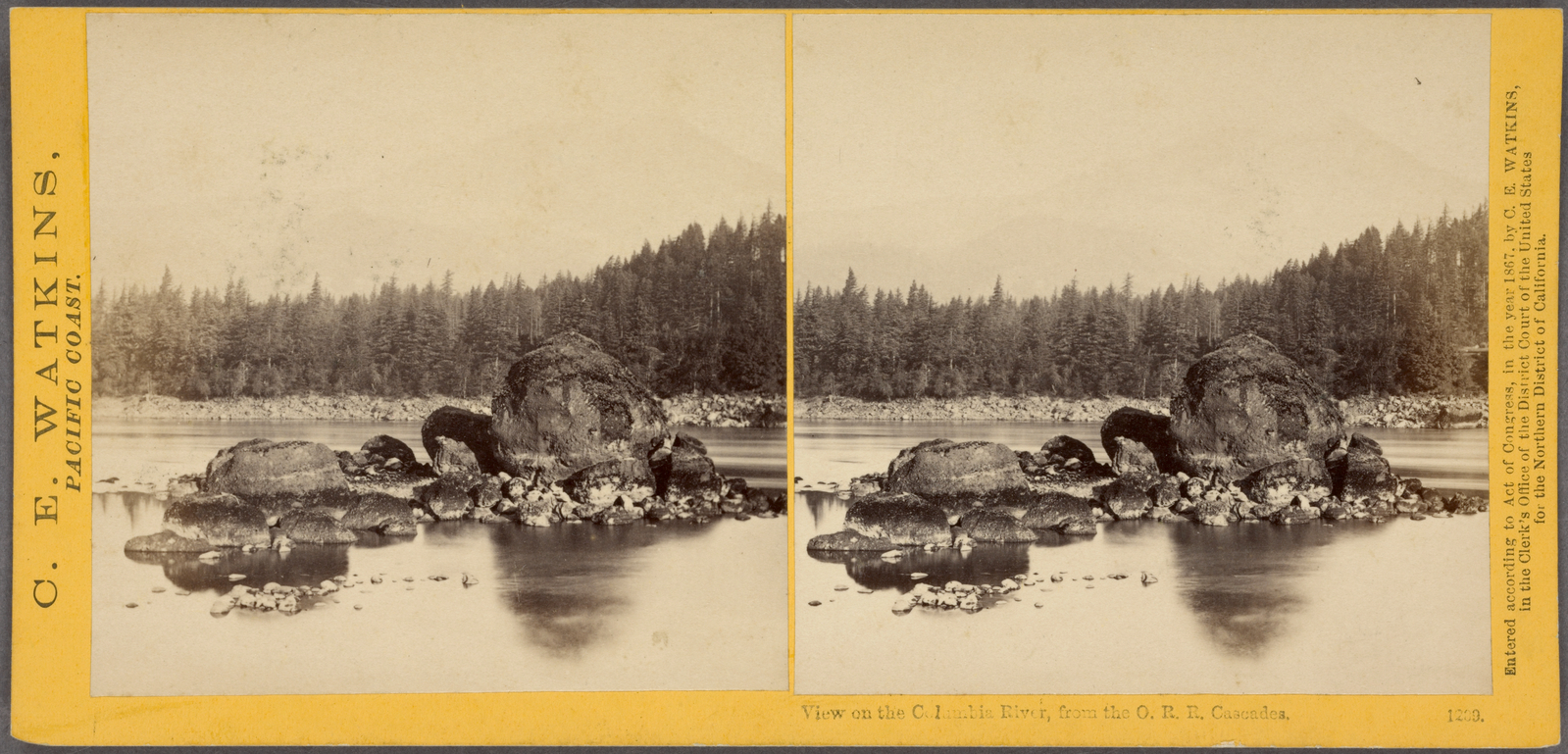
View on the Columbia River, from the O.R.R. Cascades.
Subjects: California, Columbia River, Oregon, Rocks
Collection: NYPL Digital Collections: Robert N. Dennis [From The New York Public Library]
Collection: NYPL Digital Collections: Robert N. Dennis [From The New York Public Library]
![Mirror view, Lake Angeline, Cal. [no. 468]. Stereoview Card](http://images.nypl.org/index.php?id=G89F367_003F&t=w&download=1&suffix=510d47e0-3346-a3d9-e040-e00a18064a99.001)

