O’Sullivan, Timothy H. (1840-1882)
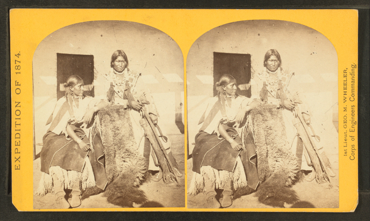
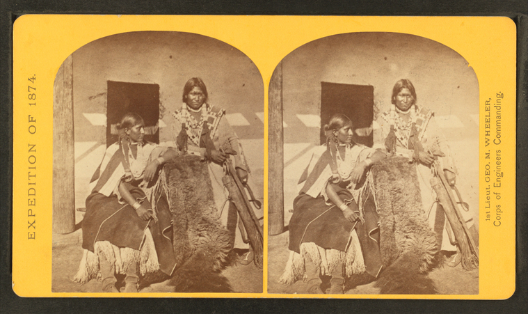
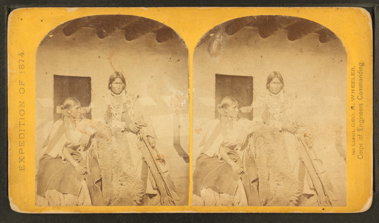
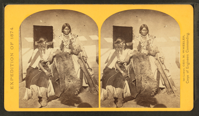
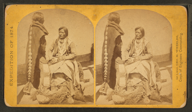
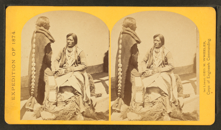
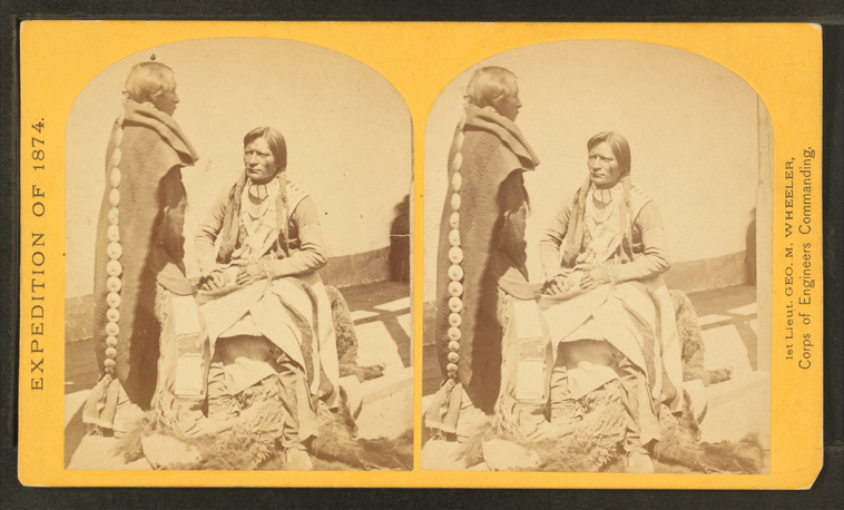
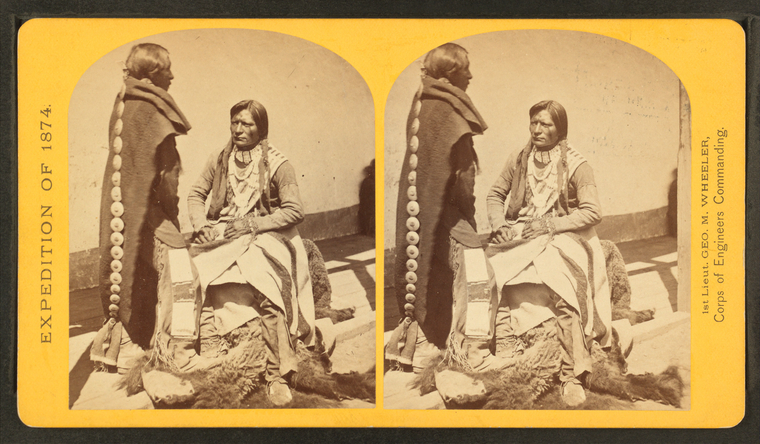
Jicarilla brave and squaw, lately wedded. Abiquiu Agency, New Mexico.
Publisher: Geographical Surveys West of the 100th Meridian (U.S.)
Photographer: O’Sullivan, Timothy H. (1840-1882) Subjects: United States, Expeditions & surveys Collection: NYPL Digital Collections: Robert N. Dennis [From The New York Public Library] |
Ute braves, of the Kah-poh-teh band, northern New Mexico, in "full dress. |
Ute braves, of the Kah-poh-teh band, northern New Mexico, in "full dress. |
Ute braves, of the Kah-poh-teh band, northern New Mexico, in "full dress. |
Ute braves, of the Kah-poh-teh band, northern New Mexico, in "full dress. |
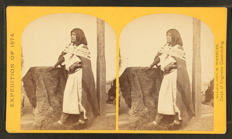
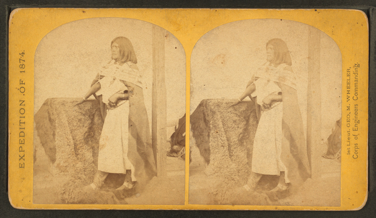
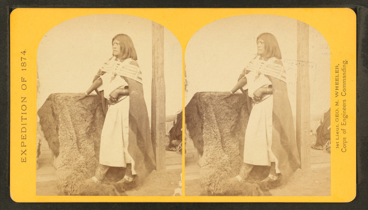
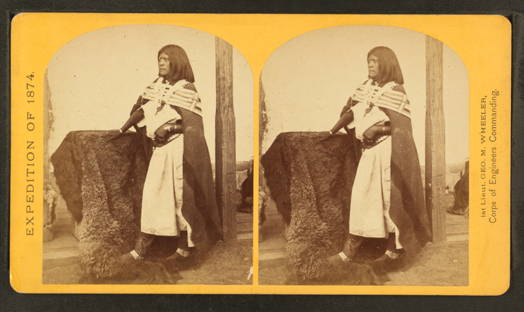
Pah-ge, a Ute squaw, of the Kah-poh-teh band, northern New Mexico. |
Pah-ge, a Ute squaw, of the Kah-poh-teh band, northern New Mexico. |
Pah-ge, a Ute squaw, of the Kah-poh-teh band, northern New Mexico. |
Pah-ge, a Ute squaw, of the Kah-poh-teh band, northern New Mexico. |
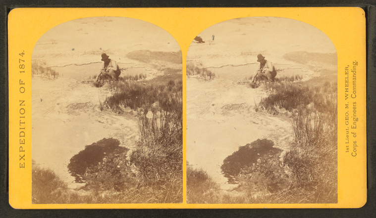
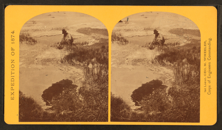
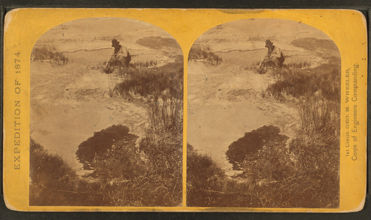
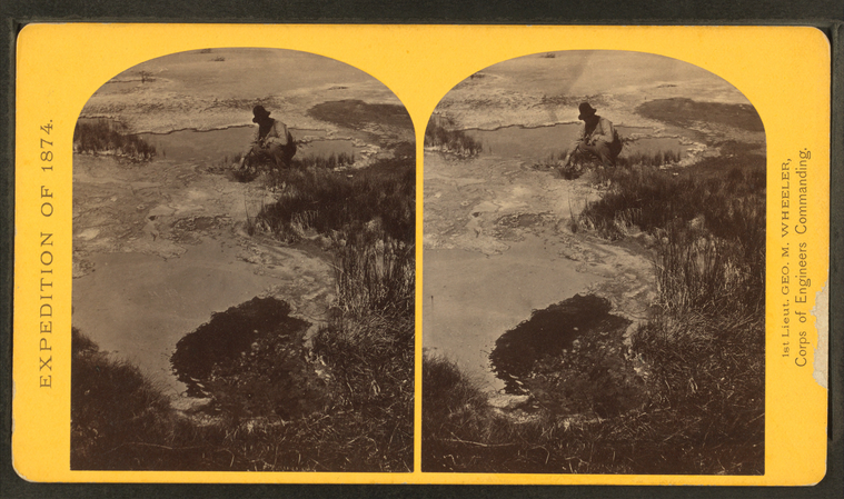
One of the group of Pagosa Hot Springs, showing incrustation on the surface. Much prized by the Indians and miners on account of supposed healing qualities. Principal mineral element, Sulphate of Soda.
Publisher: Geographical Surveys West of the 100th Meridian (U.S.)
Photographer: O’Sullivan, Timothy H. (1840-1882) Subjects: United States, Expeditions & surveys Collection: NYPL Digital Collections: Robert N. Dennis [From The New York Public Library] |
One of the group of Pagosa Hot Springs, showing incrustation on the surface. Much prized by the Indians and miners on account of supposed healing qualities. Principal mineral element, Sulphate of Soda.
Publisher: Geographical Surveys West of the 100th Meridian (U.S.)
Photographer: O’Sullivan, Timothy H. (1840-1882) Subjects: United States, Expeditions & surveys, Colorado, Hot springs Collection: NYPL Digital Collections: Robert N. Dennis [From The New York Public Library] |
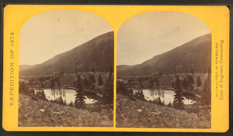
Lost Lakes, head of Conejos Cañon, Colorado, in the Sierra San Juan range, near divide between Conejos and south fork of Alamosa Rivers, surrounded by a forest of Douglass spruce, and approximately 11,000 feet above sea-level.
Publisher: Geographical Surveys West of the 100th Meridian (U.S.)
Photographer: O’Sullivan, Timothy H. (1840-1882) Subjects: United States, Expeditions & surveys, Colorado, Lakes & ponds, Colorado, Mountains Collection: NYPL Digital Collections: Robert N. Dennis [From The New York Public Library] |
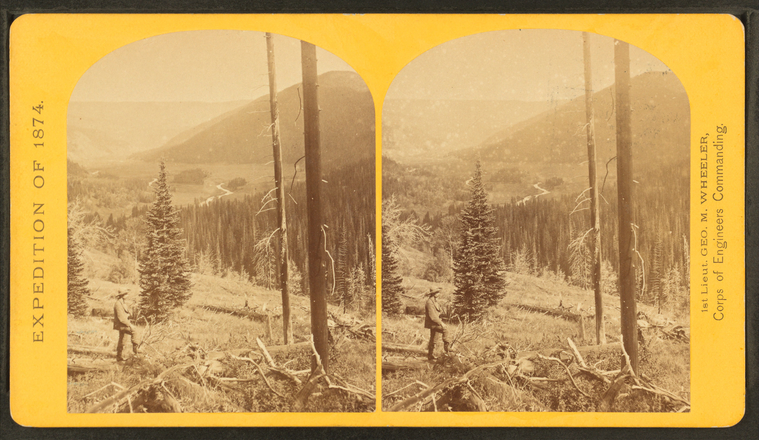
Cañon, valley of the Conejos River, looking south from vicinity of "Lost Lakes."
Publisher: Geographical Surveys West of the 100th Meridian (U.S.)
Photographer: O’Sullivan, Timothy H. (1840-1882) Subjects: United States, Expeditions & surveys, Colorado, Canyons, Colorado, Rivers Collection: NYPL Digital Collections: Robert N. Dennis [From The New York Public Library] |
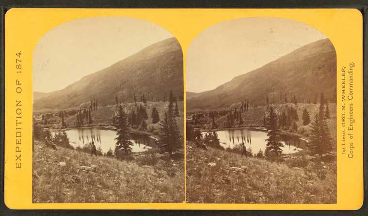
Beaver Lake, Conejos Cañon, 9,000 feet above sea-level, and 80 miles from mouth of cañon.
Publisher: Geographical Surveys West of the 100th Meridian (U.S.)
Photographer: O’Sullivan, Timothy H. (1840-1882) Subjects: United States, Expeditions & surveys, Colorado, Lakes & ponds, Colorado, Canyons Collection: NYPL Digital Collections: Robert N. Dennis [From The New York Public Library] |
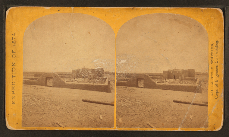
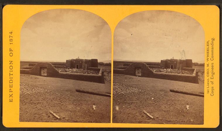
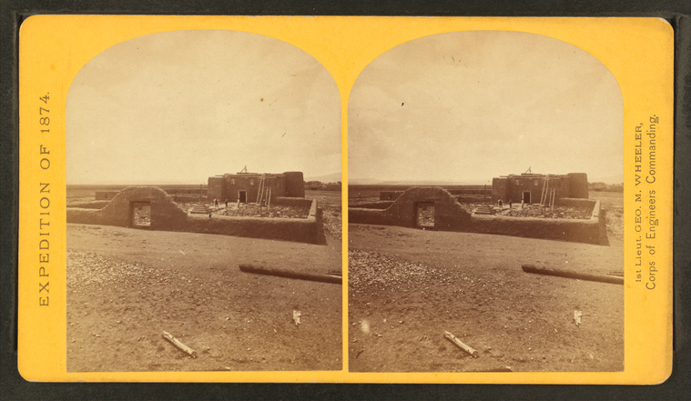
Roman Catholic church, Plaza of Guadeloupe, Gouadeloupe Co., Colorado. Built not many years since of adobes. Dimensions: length 120 feet; width 60 feet; height 25 feet. Grave yard in the foreground surrounded by an adobe wall about 6 feet in height.
Publisher: Geographical Surveys West of the 100th Meridian (U.S.)
Photographer: O’Sullivan, Timothy H. (1840-1882) Subjects: United States, Expeditions & surveys, Churches, Colorado, Adobe buildings Collection: NYPL Digital Collections: Robert N. Dennis [From The New York Public Library] |
